Transport Functions
Rail
Road
Hub Profile
Place type
Populated place
Region
Sichuan
Time zone
Asia/Shanghai
Elevation
3,161 m
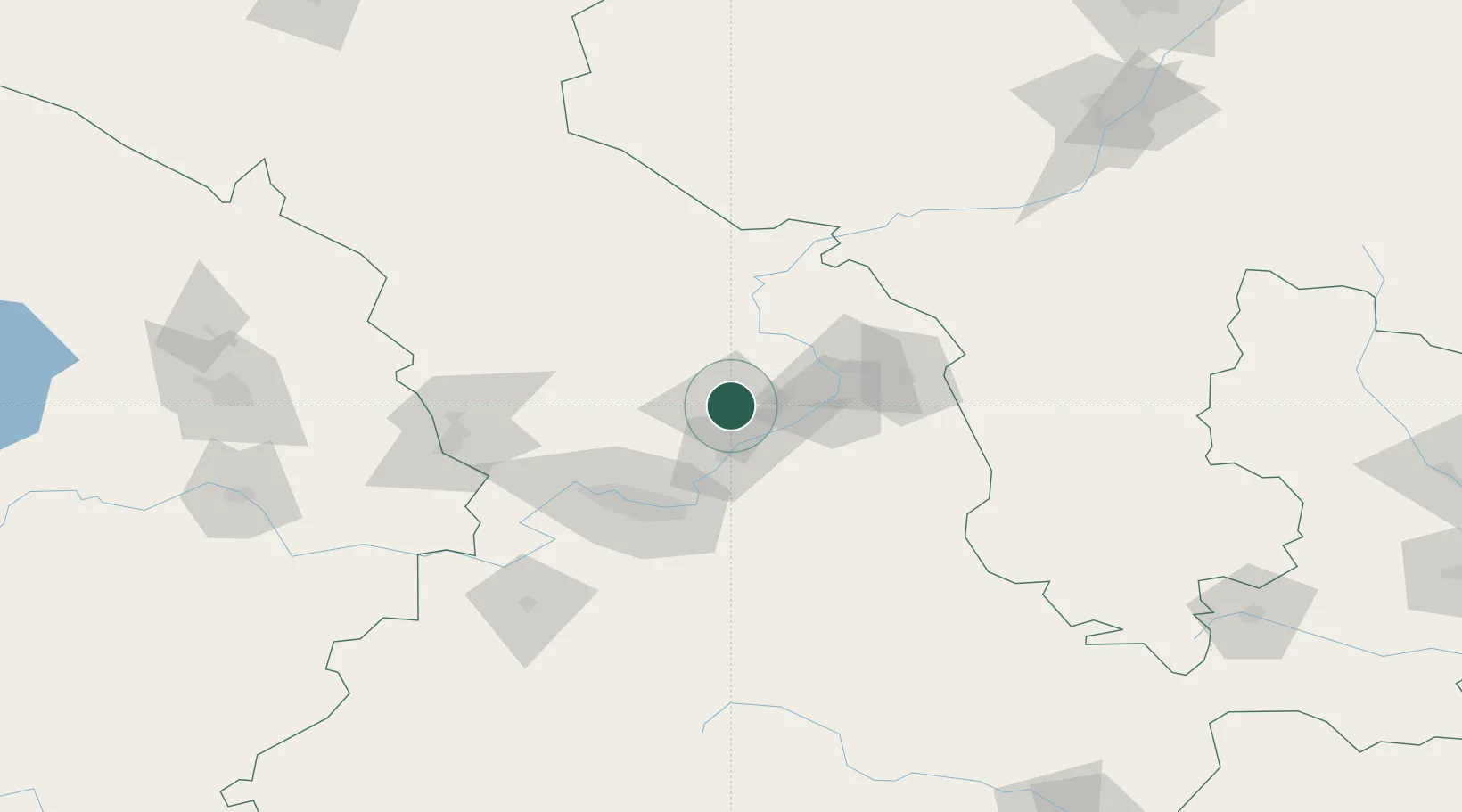
Location
Nearby Logistics Neighbours
Ports
- 1Hankow1145 km
- 2Tianjin Xin Gang1227 km
- 3Tangshan (Jingtang)1332 km
- 4Lanshan1376 km
- 5Rizhao1388 km
Airports
- 1Lanzhou Zhongchuan International Airport52 km
- 2Lanzhou Air Base70 km
- 3Zhongwei Shapotou Airport142 km
- 4Lintao Air Base142 km
- 5Guyuan Liupanshan Airport188 km
DatabookThe Record of Consolidated Knowledge
China beyond logistics?