Medium airport · China

Zhongwei Shapotou AirportZLZW
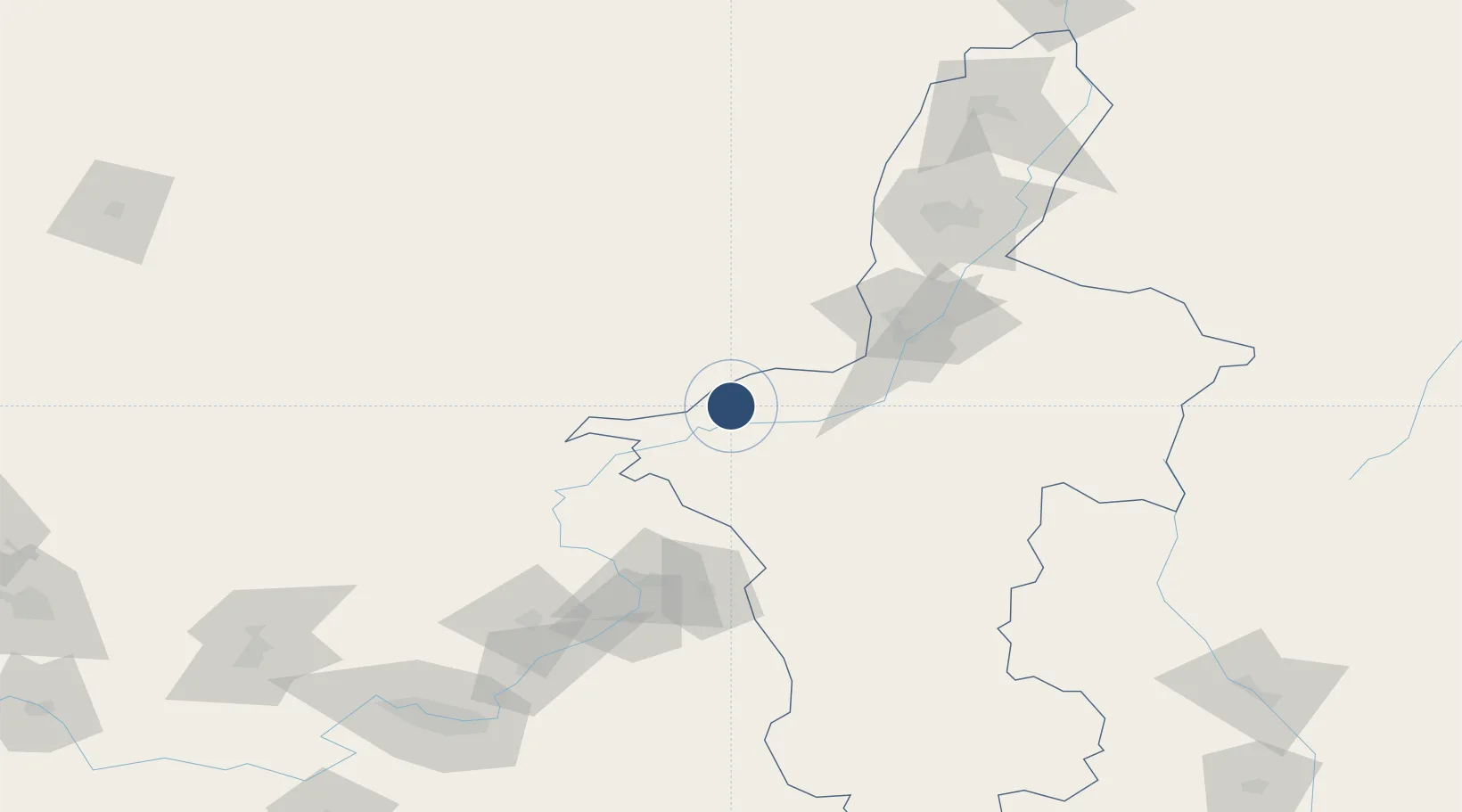
37.5731°, 105.1545°
9,186 ft
Longest runway
1
Runways
4,088 ft
Elevation

Runway & Layout

Zhongwei Shapotou Airport runway & taxiway layout
Runway & taxiway layout — OpenStreetMap (ODbL) / OurAirports

Runways · 1

RunwayDimensions SurfaceTrue headingLit
09/27 9,186 × —ft Concrete
OurAirports

Airport Specifications

IATA code
ZHY
OurAirports
ICAO code
ZLZW
OurAirports
Airport class
Medium airport
OurAirports
Scheduled service
Yes
OurAirports
Runway surface
Concrete
OurAirports
Served city
Zhongwei (Shapotou)
OurAirports

Location

Location of ZLZW
Natural Earth 10m (public domain) · Ningxia · ZLZW · 37.57, 105.15GoogleOSMYandex

Nearby Logistics Neighbours

Airports
  1. 1Alxa Left Banner Bayanhot Airport136 km
  2. 2Yinchuan Hedong International Airport137 km
  3. 3Lanzhou Zhongchuan International Airport180 km
  4. 4Guyuan Liupanshan Airport191 km
  5. 5Lanzhou Air Base202 km
Nearest neighbours — logibook spatial index (haversine) over the source coordinates
Cities
  1. 1Yinchuan138 km
  2. 2Bayin142 km
  3. 3Gaolan177 km
  4. 4Lanzhou204 km
  5. 5Dingxi228 km
Nearest neighbours — logibook spatial index (haversine) over the source coordinates
Ports
  1. 1Tianjin Xin Gang1117 km
  2. 2Hankow1144 km
  3. 3Tangshan (Jingtang)1220 km
  4. 4Qinhuangdao1280 km
  5. 5Lanshan1302 km
Nearest neighbours — logibook spatial index (haversine) over the source coordinates
DatabookThe Record of Consolidated Knowledge
China beyond logistics?
Browse databook

All Sources

AirportsOurAirports
Public domain
Portsthe NGA World Port Index
Public domain (US gov)
LocationsUN/LOCODE
UN/LOCODE — free
Trade Zonesthe World Bank SEZ database
CC BY 4.0
Trade ZonesOpen Zone Map
CC BY
InfrastructureOpenStreetMap
ODbL 1.0
← China airports