Medium airport · North Korea

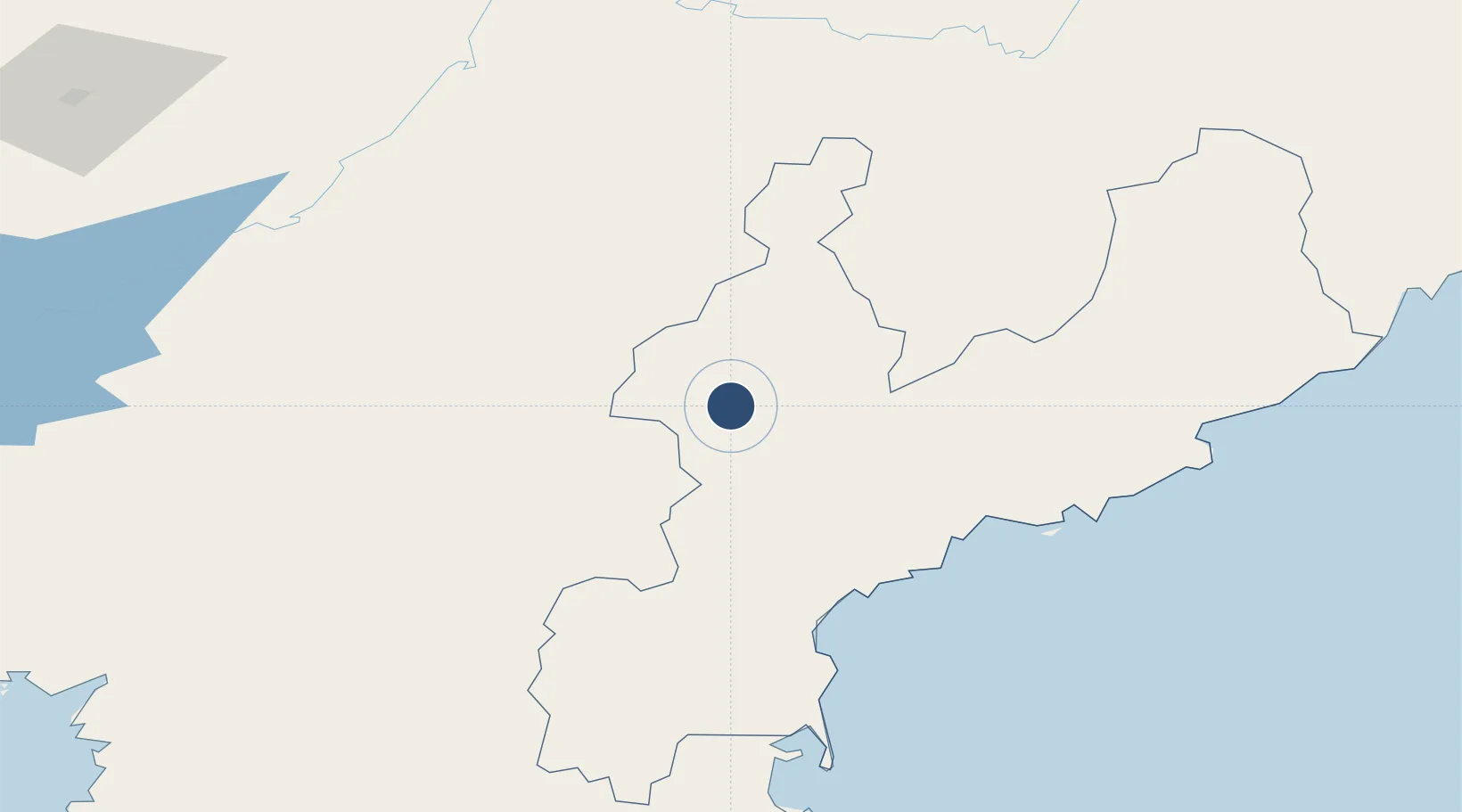
Changjin Air Force BaseKP-0036

40.3644°, 127.2643°
9,170 ft
Longest runway
1
Runways
3,457 ft
Elevation

Runway & Layout

Changjin Air Force Base runway & taxiway layout
Runway & taxiway layout — OpenStreetMap (ODbL) / OurAirports

Runways · 1

RunwayDimensions SurfaceTrue headingLit
16/34 9,170 × 203ft Concrete
OurAirports

Airport Specifications

Airport class
Medium airport
OurAirports
Scheduled service
No
OurAirports
Runway surface
Concrete
OurAirports
Served city
Changjin
OurAirports

Location

Location of KP-0036
Natural Earth 10m (public domain) · Hamgyŏng-namdo · KP-0036 · 40.36, 127.26GoogleOSMYandex

Nearby Logistics Neighbours

Airports
  1. 1Toksan Air Base51 km
  2. 2Sondok Airport71 km
  3. 3Hwangsuwon Airbase83 km
  4. 4Riwon Airbase123 km
  5. 5Wonsan Kalma International Airport135 km
Nearest neighbours — logibook spatial index (haversine) over the source coordinates
Cities
  1. 1Sinpo91 km
  2. 2Riwon116 km
  3. 3Ji'an125 km
  4. 4Qingshi128 km
  5. 5Tanchon142 km
Nearest neighbours — logibook spatial index (haversine) over the source coordinates
Ports
  1. 1Hungnam66 km
  2. 2Wonsan134 km
  3. 3Kimch'aek167 km
  4. 4Kyomip'o230 km
  5. 5Nampo243 km
Nearest neighbours — logibook spatial index (haversine) over the source coordinates
Trade Zones
  1. 1Hō­ngnam Industrial Development Zone62 km
  2. 2Pukchong Agricultural Development Zone89 km
  3. 3Manpo Economic Development Zone120 km
  4. 4Jian Economic Development Zone124 km
  5. 5Wiwōn Industrial Development Zone125 km
Nearest neighbours — logibook spatial index (haversine) over the source coordinates
DatabookThe Record of Consolidated Knowledge
North Korea beyond logistics?
Browse databook

All Sources

AirportsOurAirports
Public domain
Portsthe NGA World Port Index
Public domain (US gov)
LocationsUN/LOCODE
UN/LOCODE — free
Trade Zonesthe World Bank SEZ database
CC BY 4.0
Trade ZonesOpen Zone Map
CC BY
InfrastructureOpenStreetMap
ODbL 1.0
← North Korea airports