UN/LOCODE hub · China
CNSPG

Siping

41.0833°, 124.7333°
555,609
Population
1
Transport functions

Transport Functions

Multimodal
UN/LOCODE

Hub Profile

Place type
Populated place
GeoNames
Region
Jilin
GeoNames
Population
555,609
GeoNames
Time zone
Asia/Shanghai
GeoNames
Elevation
176 m
GeoNames

Location

Location of CNSPG
Natural Earth 10m (public domain) · Jilin · CNSPG · 41.08, 124.73GoogleOSMYandex

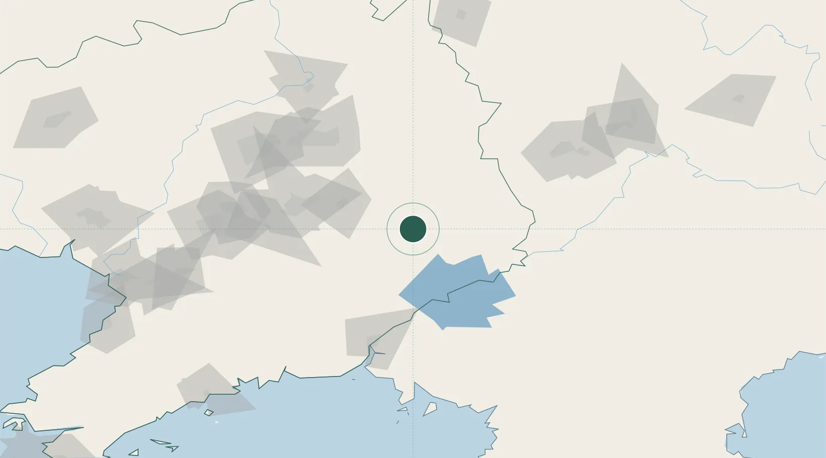
Nearby Logistics Neighbours

Cities
  1. 1Changdianhekou74 km
  2. 2Fushun110 km
  3. 3Dandong110 km
  4. 4Dandong112 km
  5. 5Ji'an122 km
Nearest neighbours — logibook spatial index (haversine) over the source coordinates
Ports
  1. 1Dandong149 km
  2. 2Yingkou215 km
  3. 3Bayuquan240 km
  4. 4Nampo269 km
  5. 5Kyomip'o272 km
Nearest neighbours — logibook spatial index (haversine) over the source coordinates
Airports
  1. 1Shenyang Taoxian International Airport121 km
  2. 2Dandong Langtou International Airport124 km
  3. 3Shenyang Dongta Airport129 km
  4. 4Tonghua Sanyuanpu Airport136 km
  5. 5Shenyang Beiling Air Base139 km
Nearest neighbours — logibook spatial index (haversine) over the source coordinates
Trade Zones
  1. 1Wunushan Economic Development Zone59 km
  2. 2Chongsu Tourist Development Zone90 km
  3. 3Wiwōn Industrial Development Zone105 km
  4. 4Shenyang Financial Business Development Zone108 km
  5. 5Sinō­iju International Economic Zone114 km
Nearest neighbours — logibook spatial index (haversine) over the source coordinates
DatabookThe Record of Consolidated Knowledge
China beyond logistics?
Browse databook

All Sources

LocationsUN/LOCODE
UN/LOCODE — free
LocationsGeoNames
CC BY 4.0
Portsthe NGA World Port Index
Public domain (US gov)
AirportsOurAirports
Public domain
Trade Zonesthe World Bank SEZ database
CC BY 4.0
Trade ZonesOpen Zone Map
CC BY
← China locations