Diversified Zone · China

Liuhe Industrial Concentration Zone Active
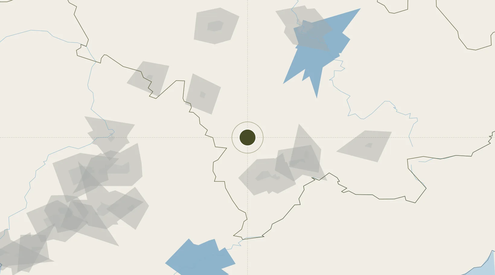
42.3010°, 125.7754°
580 ha
Zone area
308.0 km
Nearest port
28.3 km
Nearest airport

Gateway access

Nearest neighbours — logibook spatial index (haversine) over the source coordinates

Zone profile

Zone type
Diversified Zone
Open Zone Map
Region
Jilin
Open Zone Map
Status
Active
Open Zone Map
Management
Public
Open Zone Map
Operator
Working Committee of Liuhe Industrial Concentration Zone
Open Zone Map
Legal framework
People's Government of Jilin Province on consentThe approval of promotion of Liuhe Industrial Concentration Zone to Provincial Development Zone
Open Zone Map

Location

Location of ozm-561
Natural Earth 10m (public domain) · Jilin · ozm-561 · 42.30, 125.78GoogleOSMYandex

Nearby Logistics Neighbours

Ports
  1. 1Dandong308 km
  2. 2Hungnam315 km
  3. 3Kimch'aek338 km
  4. 4Ch'ongjin339 km
  5. 5Yingkou346 km
Nearest neighbours — logibook spatial index (haversine) over the source coordinates
Airports
  1. 1Tonghua Sanyuanpu Airport28 km
  2. 2Kaiyuan Air Base149 km
  3. 3Changbaishan Airport153 km
  4. 4Siping Air Base154 km
  5. 5Gongzhuling Air Base158 km
Nearest neighbours — logibook spatial index (haversine) over the source coordinates
Cities
  1. 1Baishan67 km
  2. 2Liaoyuan85 km
  3. 3Jiashan114 km
  4. 4Qingshi121 km
  5. 5Ji'an134 km
Nearest neighbours — logibook spatial index (haversine) over the source coordinates
Trade Zones
  1. 1Meihekou Economic Development Zone31 km
  2. 2Dongfeng Economic Development Zone49 km
  3. 3Baishan Economic Development Zone67 km
  4. 4Panshi Economic Development Zone76 km
  5. 5LiaoYuan Private Economy Development Zone81 km
Nearest neighbours — logibook spatial index (haversine) over the source coordinates
DatabookThe Record of Consolidated Knowledge
China beyond logistics?
Browse databook

All Sources

Trade ZonesOpen Zone Map
CC BY
Portsthe NGA World Port Index
Public domain (US gov)
AirportsOurAirports
Public domain
LocationsUN/LOCODE
UN/LOCODE — free
← China trade zones