Medium airport · North Korea

Toksan Air BaseKP-0025
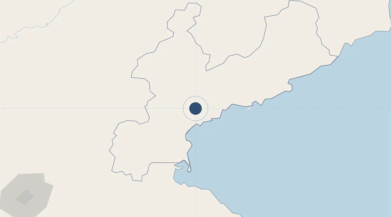
39.9963°, 127.6117°
8,150 ft
Longest runway
1
Runways
210 ft
Elevation

Runway & Layout

Toksan Air Base runway & taxiway layout
Runway & taxiway layout — OpenStreetMap (ODbL) / OurAirports

Runways · 1

RunwayDimensions SurfaceTrue headingLit
05/23 8,150 × 161ft Concrete
OurAirports

Airport Specifications

Airport class
Medium airport
OurAirports
Scheduled service
No
OurAirports
Runway surface
Concrete
OurAirports
Served city
Tŏksan-dong
OurAirports

Location

Location of KP-0025
Natural Earth 10m (public domain) · Hamgyŏng-namdo · KP-0025 · 40.00, 127.61GoogleOSMYandex

Nearby Logistics Neighbours

Airports
  1. 1Sondok Airport30 km
  2. 2Changjin Air Force Base51 km
  3. 3Hwangsuwon Airbase89 km
  4. 4Wonsan Kalma International Airport93 km
  5. 5Riwon Airbase103 km
Nearest neighbours — logibook spatial index (haversine) over the source coordinates
Cities
  1. 1Sinpo56 km
  2. 2Riwon94 km
  3. 3Tanchon122 km
  4. 4Yeoncheon-gun122 km
  5. 5Inje-gun154 km
Nearest neighbours — logibook spatial index (haversine) over the source coordinates
Ports
  1. 1Hungnam18 km
  2. 2Wonsan93 km
  3. 3Kimch'aek154 km
  4. 4Sokch'o Hang217 km
  5. 5Kyomip'o222 km
Nearest neighbours — logibook spatial index (haversine) over the source coordinates
Trade Zones
  1. 1Hō­ngnam Industrial Development Zone20 km
  2. 2Pukchong Agricultural Development Zone64 km
  3. 3Hyondong Industrial Development Zone95 km
  4. 4Wōnsan-Mount Kumgang Tourist Zone95 km
  5. 5Chōngjin Economic Development Zone131 km
Nearest neighbours — logibook spatial index (haversine) over the source coordinates
DatabookThe Record of Consolidated Knowledge
North Korea beyond logistics?
Browse databook

All Sources

AirportsOurAirports
Public domain
Portsthe NGA World Port Index
Public domain (US gov)
LocationsUN/LOCODE
UN/LOCODE — free
Trade Zonesthe World Bank SEZ database
CC BY 4.0
Trade ZonesOpen Zone Map
CC BY
InfrastructureOpenStreetMap
ODbL 1.0
← North Korea airports