Diversified Zone · China

Hecheng Science and Technology Industrial Park Active
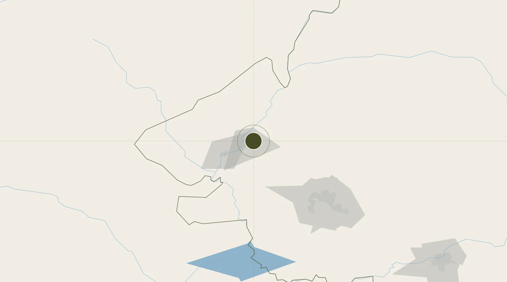
47.3761°, 124.0507°
1,026 ha
Zone area
746.2 km
Nearest port
19.2 km
Nearest airport

Gateway access

Nearest neighbours — logibook spatial index (haversine) over the source coordinates

Zone profile

Zone type
Diversified Zone
Open Zone Map
Region
Heilongjiang
Open Zone Map
Status
Active
Open Zone Map
Management
Public
Open Zone Map
Operator
Management Committee of Hecheng Science and Technology Industrial Park
Open Zone Map
Legal framework
It was developed on the basis of township industrial development zone in 1993
Open Zone Map

Location

Location of ozm-692
Natural Earth 10m (public domain) · Heilongjiang · ozm-692 · 47.38, 124.05GoogleOSMYandex

Nearby Logistics Neighbours

Ports
  1. 1Pos'yet746 km
  2. 2Najin755 km
  3. 3Yingkou758 km
  4. 4Slavyanka763 km
  5. 5Zarubino764 km
Nearest neighbours — logibook spatial index (haversine) over the source coordinates
Airports
  1. 1Qiqihar Sanjiazi Airport19 km
  2. 2Daqing Sartu Airport108 km
  3. 3Zhalantun Genghis Khan Airport110 km
  4. 4Wudalianchi Dedu Airport195 km
  5. 5Ulanhot Yilelite Airport204 km
Nearest neighbours — logibook spatial index (haversine) over the source coordinates
Cities
  1. 1Daqing73 km
  2. 2Zhaodong207 km
  3. 3Ulan Hot208 km
  4. 4Baicheng214 km
  5. 5Harbin267 km
Nearest neighbours — logibook spatial index (haversine) over the source coordinates
Trade Zones
  1. 1Fuyu Economic Development Zone54 km
  2. 2Gannan County Industrial Demonstration Base73 km
  3. 3Arong Banner Industrial Park94 km
  4. 4Yian Economic Development Zone111 km
  5. 5Tailai Industrial Demonstration Base118 km
Nearest neighbours — logibook spatial index (haversine) over the source coordinates
DatabookThe Record of Consolidated Knowledge
China beyond logistics?
Browse databook

All Sources

Trade ZonesOpen Zone Map
CC BY
Portsthe NGA World Port Index
Public domain (US gov)
AirportsOurAirports
Public domain
LocationsUN/LOCODE
UN/LOCODE — free
← China trade zones