Diversified Zone · China

Arong Banner Industrial Park Active
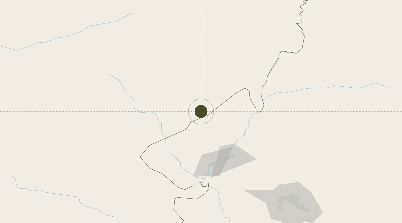
48.1236°, 123.4653°
52 ha
Zone area
833.1 km
Nearest port
59.2 km
Nearest airport

Gateway access

Nearest neighbours — logibook spatial index (haversine) over the source coordinates

Zone profile

Zone type
Diversified Zone
Open Zone Map
Region
Inner Mongol
Open Zone Map
Status
Active
Open Zone Map
Management
Public
Open Zone Map
Operator
Working Committee of Arong Banner Industrial Park
Open Zone Map
Legal framework
A Rongqi plans three industrial parks to boost economic development
Open Zone Map

Location

Location of ozm-314
Natural Earth 10m (public domain) · Inner Mongol · ozm-314 · 48.12, 123.47GoogleOSMYandex

Nearby Logistics Neighbours

Ports
  1. 1Yingkou833 km
  2. 2Pos'yet835 km
  3. 3Jinzhou Wan841 km
  4. 4Najin846 km
  5. 5Huludao Gang849 km
Nearest neighbours — logibook spatial index (haversine) over the source coordinates
Airports
  1. 1Zhalantun Genghis Khan Airport59 km
  2. 2Qiqihar Sanjiazi Airport105 km
  3. 3Daqing Sartu Airport198 km
  4. 4Wudalianchi Dedu Airport200 km
  5. 5Ulanhot Yilelite Airport241 km
Nearest neighbours — logibook spatial index (haversine) over the source coordinates
Cities
  1. 1Daqing167 km
  2. 2Ulan Hot250 km
  3. 3Baicheng279 km
  4. 4Zhaodong298 km
  5. 5Sunwu317 km
Nearest neighbours — logibook spatial index (haversine) over the source coordinates
Trade Zones
  1. 1Gannan County Industrial Demonstration Base23 km
  2. 2Lingdong Industrial Park, Hulunbuir55 km
  3. 3Fuyu Economic Development Zone86 km
  4. 4Hecheng Science and Technology Industrial Park94 km
  5. 5Nehe Economic Development Zone109 km
Nearest neighbours — logibook spatial index (haversine) over the source coordinates
DatabookThe Record of Consolidated Knowledge
China beyond logistics?
Browse databook

All Sources

Trade ZonesOpen Zone Map
CC BY
Portsthe NGA World Port Index
Public domain (US gov)
AirportsOurAirports
Public domain
LocationsUN/LOCODE
UN/LOCODE — free
← China trade zones