Export Processing Zone · China

Yian Economic Development Zone Active
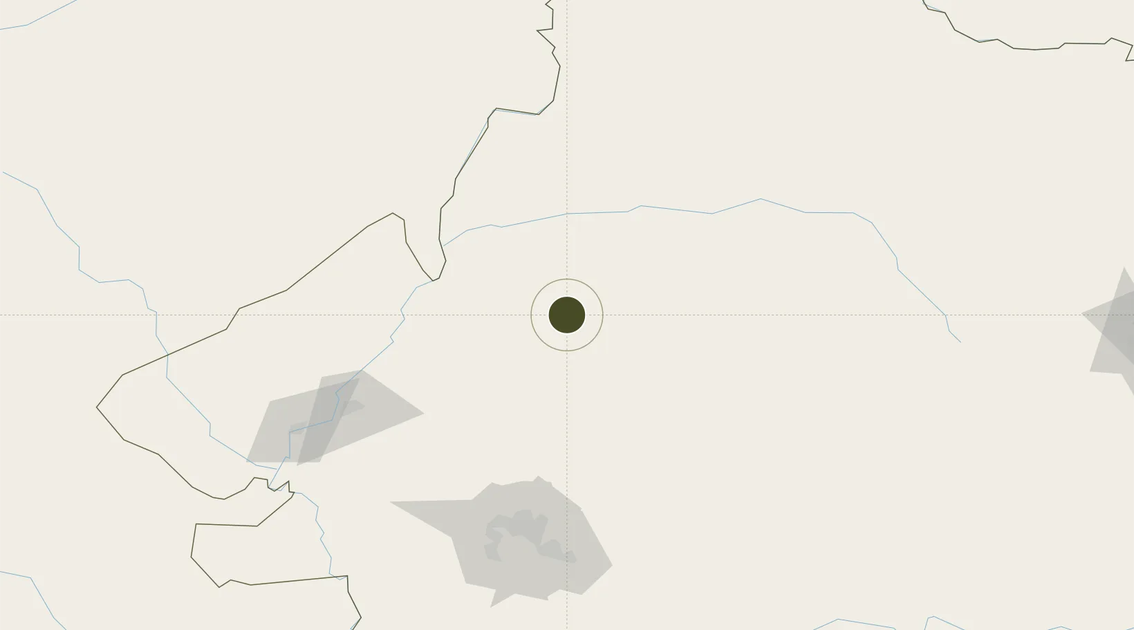
47.9017°, 125.3097°
381 ha
Zone area
724.5 km
Nearest port
85.3 km
Nearest airport

Gateway access

Nearest neighbours — logibook spatial index (haversine) over the source coordinates

Zone profile

Zone type
Export Processing Zone
Open Zone Map
Region
Heilongjiang
Open Zone Map
Status
Active
Open Zone Map
Management
Public
Open Zone Map
Operator
Management Committee of Heilongjiang Yi'an Economic Development Zone
Open Zone Map
Legal framework
Unavailable
Open Zone Map

Location

Location of ozm-1116
Natural Earth 10m (public domain) · Heilongjiang · ozm-1116 · 47.90, 125.31GoogleOSMYandex

Nearby Logistics Neighbours

Ports
  1. 1Pos'yet725 km
  2. 2Slavyanka733 km
  3. 3Vladivostok739 km
  4. 4Zarubino739 km
  5. 5Najin742 km
Nearest neighbours — logibook spatial index (haversine) over the source coordinates
Airports
  1. 1Wudalianchi Dedu Airport85 km
  2. 2Daqing Sartu Airport129 km
  3. 3Qiqihar Sanjiazi Airport129 km
  4. 4Zhalantun Genghis Khan Airport190 km
  5. 5Harbin Taiping International Airport263 km
Nearest neighbours — logibook spatial index (haversine) over the source coordinates
Cities
  1. 1Daqing134 km
  2. 2Zhaodong210 km
  3. 3Sunwu224 km
  4. 4Tieli230 km
  5. 5Bayan257 km
Nearest neighbours — logibook spatial index (haversine) over the source coordinates
Trade Zones
  1. 1Fuyu Economic Development Zone63 km
  2. 2Baiquan Industrial Demonstration Base68 km
  3. 3Nehe Economic Development Zone74 km
  4. 4Beian Economic Development Zone99 km
  5. 5Jiu San Economic Development Zone108 km
Nearest neighbours — logibook spatial index (haversine) over the source coordinates
DatabookThe Record of Consolidated Knowledge
China beyond logistics?
Browse databook

All Sources

Trade ZonesOpen Zone Map
CC BY
Portsthe NGA World Port Index
Public domain (US gov)
AirportsOurAirports
Public domain
LocationsUN/LOCODE
UN/LOCODE — free
← China trade zones