Specialized Zone · Azerbaijan

Neftchala Industrial Estate Active
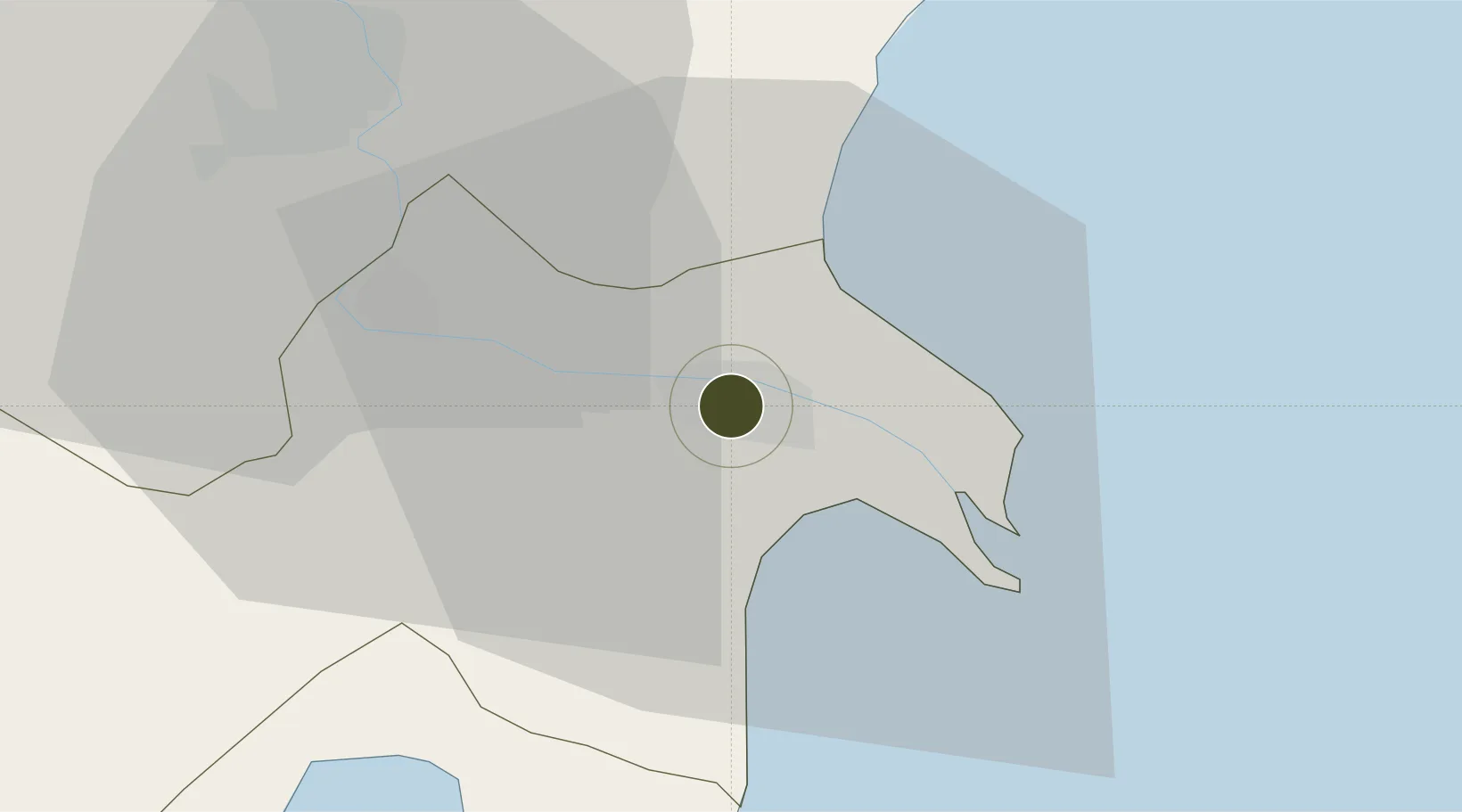
39.4044°, 49.2281°
15 ha
Zone area
687.1 km
Nearest port
57.3 km
Nearest airport

Gateway access

Nearest neighbours — logibook spatial index (haversine) over the source coordinates

Zone profile

Zone type
Specialized Zone
Open Zone Map
Specialization
Manufacturing
Open Zone Map
Region
Neftçala
Open Zone Map
Status
Active
Open Zone Map
Management
Public
Open Zone Map
Operator
Azerbaijan Investment Company OJSC
Open Zone Map
Legal framework
Presidential Decree February 2, 2015
Open Zone Map

Location

Location of ozm-68
Natural Earth 10m (public domain) · Neftçala · ozm-68 · 39.40, 49.23GoogleOSMYandex

Nearby Logistics Neighbours

Ports
  1. 1Batumi687 km
  2. 2Hopa699 km
  3. 3Supsa Marine Terminal700 km
  4. 4Rize762 km
  5. 5Sokhumi796 km
Nearest neighbours — logibook spatial index (haversine) over the source coordinates
Airports
  1. 1Qizilagach Air Base57 km
  2. 2Lankaran International Airport81 km
  3. 3Parsabad-Moghan Airport118 km
  4. 4Kyurdamir Air Base133 km
  5. 5Nasosnaya Air Base135 km
Nearest neighbours — logibook spatial index (haversine) over the source coordinates
Cities
  1. 1Alat62 km
  2. 2Shirvan63 km
  3. 3Sangachal91 km
  4. 4Qaradag99 km
  5. 5Quba110 km
Nearest neighbours — logibook spatial index (haversine) over the source coordinates
Trade Zones
  1. 1Masalli Industrial Estate63 km
  2. 2Hajigabul Industrial Estate73 km
  3. 3Sabirabad Industrial Estate91 km
  4. 4Garadagh Industrial Park103 km
  5. 5Astara Port Special Economic Zone115 km
Nearest neighbours — logibook spatial index (haversine) over the source coordinates
DatabookThe Record of Consolidated Knowledge
Azerbaijan beyond logistics?
Browse databook

All Sources

Trade ZonesOpen Zone Map
CC BY
Portsthe NGA World Port Index
Public domain (US gov)
AirportsOurAirports
Public domain
LocationsUN/LOCODE
UN/LOCODE — free
← Azerbaijan trade zones