Medium airport · Azerbaijan

Kyurdamir Air BaseUB14
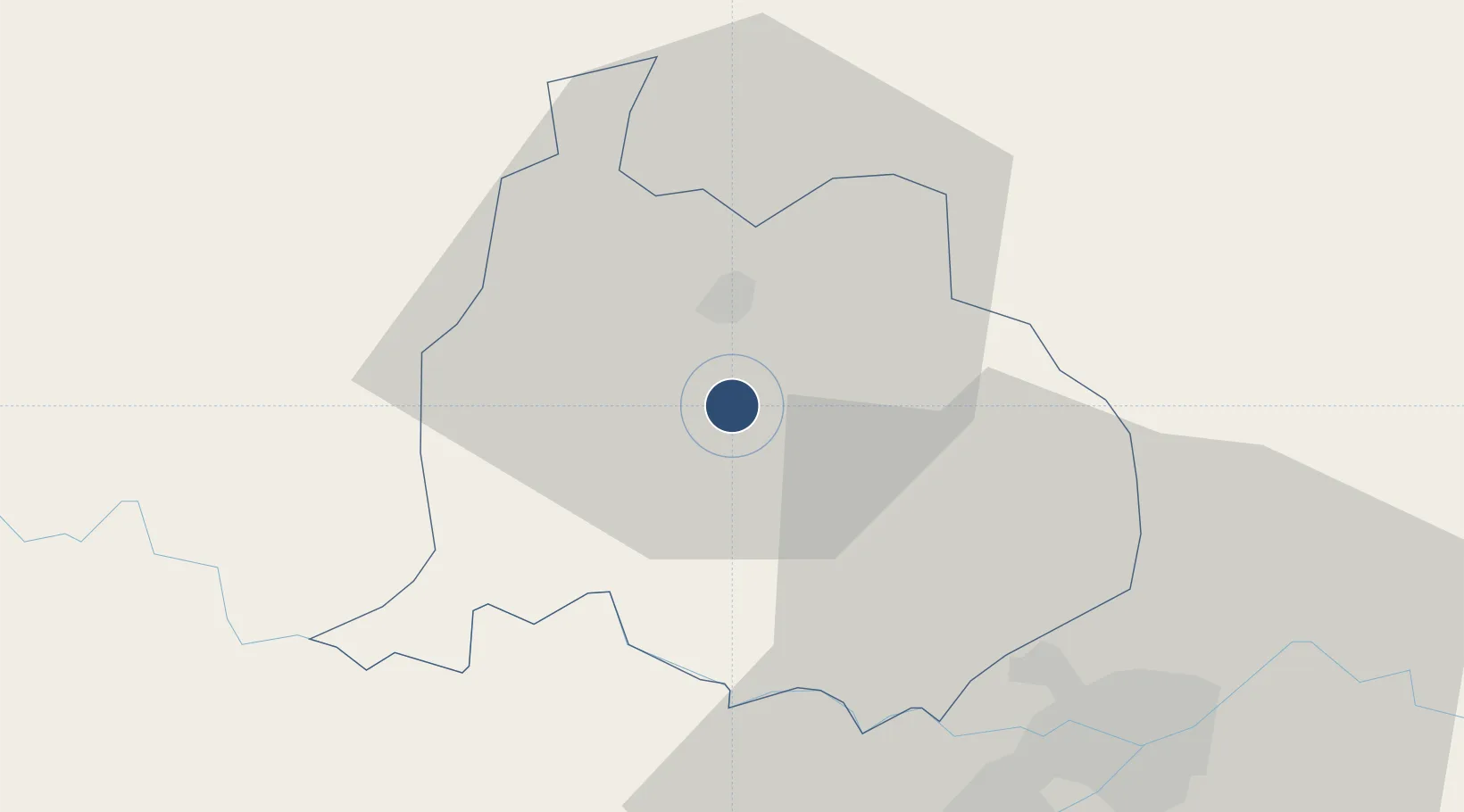
40.2736°, 48.1636°
8,200 ft
Longest runway
1
Runways
-35 ft
Elevation

Runway & Layout

Kyurdamir Air Base runway & taxiway layout
Runway & taxiway layout — OpenStreetMap (ODbL) / OurAirports

Runways · 1

RunwayDimensions SurfaceTrue headingLit
08/26 8,200 × 145ft Concrete 088°
OurAirports

Airport Specifications

Airport class
Medium airport
OurAirports
Scheduled service
No
OurAirports
Runway surface
Concrete
OurAirports
Served city
Kyurdamir
OurAirports

Location

Location of UB14
Natural Earth 10m (public domain) · Kürdəmir · UB14 · 40.27, 48.16GoogleOSMYandex

Nearby Logistics Neighbours

Airports
  1. 1Gabala International Airport70 km
  2. 2Parsabad-Moghan Airport78 km
  3. 3Sitalchay Airbase123 km
  4. 4Nasosnaya Air Base123 km
  5. 5Khojaly Airport124 km
Nearest neighbours — logibook spatial index (haversine) over the source coordinates
Cities
  1. 1Quba25 km
  2. 2Shirvan75 km
  3. 3Alat111 km
  4. 4Sangachal112 km
  5. 5Siyazan118 km
Nearest neighbours — logibook spatial index (haversine) over the source coordinates
Ports
  1. 1Batumi568 km
  2. 2Supsa Marine Terminal576 km
  3. 3Hopa583 km
  4. 4Rize651 km
  5. 5Sokhumi668 km
Nearest neighbours — logibook spatial index (haversine) over the source coordinates
Trade Zones
  1. 1Sabirabad Industrial Estate42 km
  2. 2Hajigabul Industrial Estate72 km
  3. 3Mingachevir High Technologies Park107 km
  4. 4Mingachevir Industrial Park108 km
  5. 5Garadagh Industrial Park128 km
Nearest neighbours — logibook spatial index (haversine) over the source coordinates
DatabookThe Record of Consolidated Knowledge
Azerbaijan beyond logistics?
Browse databook

All Sources

AirportsOurAirports
Public domain
Portsthe NGA World Port Index
Public domain (US gov)
LocationsUN/LOCODE
UN/LOCODE — free
Trade Zonesthe World Bank SEZ database
CC BY 4.0
Trade ZonesOpen Zone Map
CC BY
InfrastructureOpenStreetMap
ODbL 1.0
← Azerbaijan airports