Transport Functions
Port
Road
Hub Profile
Region
AGU
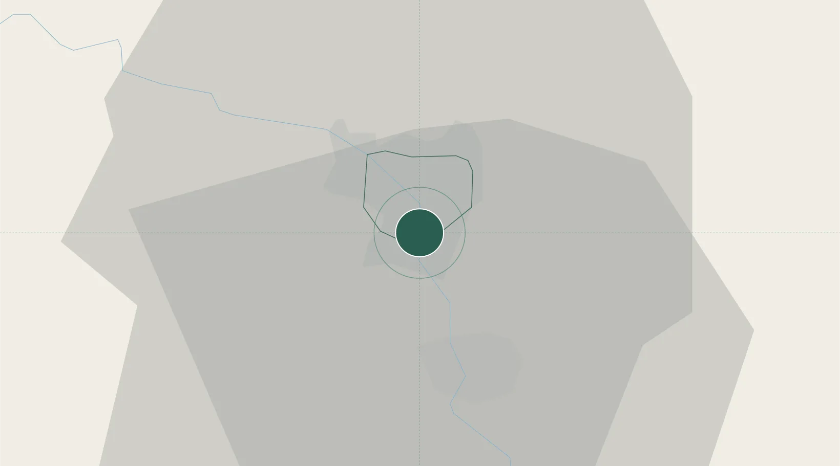
Location
Nearby Logistics Neighbours
Ports
- 1Batumi641 km
- 2Supsa Marine Terminal651 km
- 3Hopa655 km
- 4Rize722 km
- 5Sokhumi744 km
Airports
- 1Kyurdamir Air Base75 km
- 2Nasosnaya Air Base93 km
- 3Parsabad-Moghan Airport95 km
- 4Qizilagach Air Base102 km
- 5Sitalchay Airbase108 km
Trade Zones
DatabookThe Record of Consolidated Knowledge
Azerbaijan beyond logistics?