Medium airport · Azerbaijan

Nasosnaya Air BaseUB12
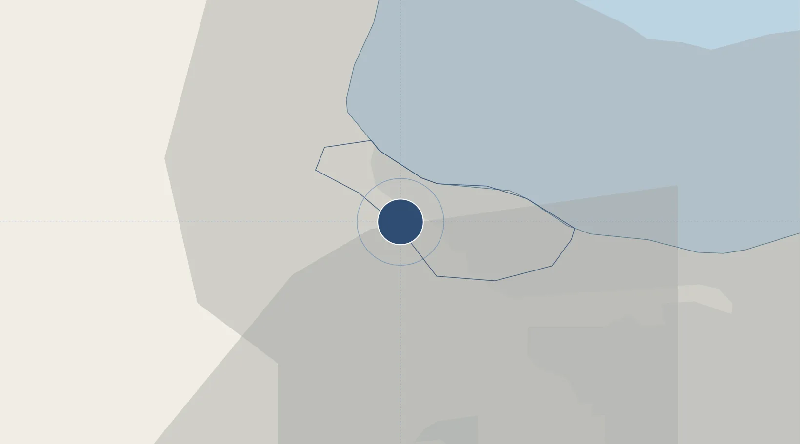
40.5916°, 49.5574°
8,218 ft
Longest runway
1
Runways
-13 ft
Elevation

Runway & Layout

Nasosnaya Air Base runway & taxiway layout
Runway & taxiway layout — OpenStreetMap (ODbL) / OurAirports

Runways · 1

RunwayDimensions SurfaceTrue headingLit
17/35 8,218 × 132ft Concrete 180°
OurAirports

Airport Specifications

ICAO code
UBBI
OurAirports
Airport class
Medium airport
OurAirports
Scheduled service
No
OurAirports
Runway surface
Concrete
OurAirports
Served city
Sumqayit
OurAirports

Location

Location of UB12
Natural Earth 10m (public domain) · Sumqayıt · UB12 · 40.59, 49.56GoogleOSMYandex

Nearby Logistics Neighbours

Airports
  1. 1Sitalchay Airbase26 km
  2. 2Zabrat Airport37 km
  3. 3Heydar Aliyev International Airport44 km
  4. 4Baku Kala Air Base58 km
  5. 5Kyurdamir Air Base123 km
Nearest neighbours — logibook spatial index (haversine) over the source coordinates
Cities
  1. 1Sumqayit9 km
  2. 2Qaradag38 km
  3. 3Sangachal44 km
  4. 4Siyazan65 km
  5. 5Alat73 km
Nearest neighbours — logibook spatial index (haversine) over the source coordinates
Ports
  1. 1Batumi673 km
  2. 2Supsa Marine Terminal675 km
  3. 3Hopa690 km
  4. 4Sokhumi759 km
  5. 5Rize762 km
Nearest neighbours — logibook spatial index (haversine) over the source coordinates
Trade Zones
  1. 1Sumgayit Chemical Industrial Park6 km
  2. 2Balakhani Industrial Park32 km
  3. 3Alat Free Economic Zone35 km
  4. 4Garadagh Industrial Park37 km
  5. 5ANAS High Technologies Park39 km
Nearest neighbours — logibook spatial index (haversine) over the source coordinates
DatabookThe Record of Consolidated Knowledge
Azerbaijan beyond logistics?
Browse databook

All Sources

AirportsOurAirports
Public domain
Portsthe NGA World Port Index
Public domain (US gov)
LocationsUN/LOCODE
UN/LOCODE — free
Trade Zonesthe World Bank SEZ database
CC BY 4.0
Trade ZonesOpen Zone Map
CC BY
InfrastructureOpenStreetMap
ODbL 1.0
← Azerbaijan airports