Diversified Zone · Azerbaijan

Hajigabul Industrial Estate Active
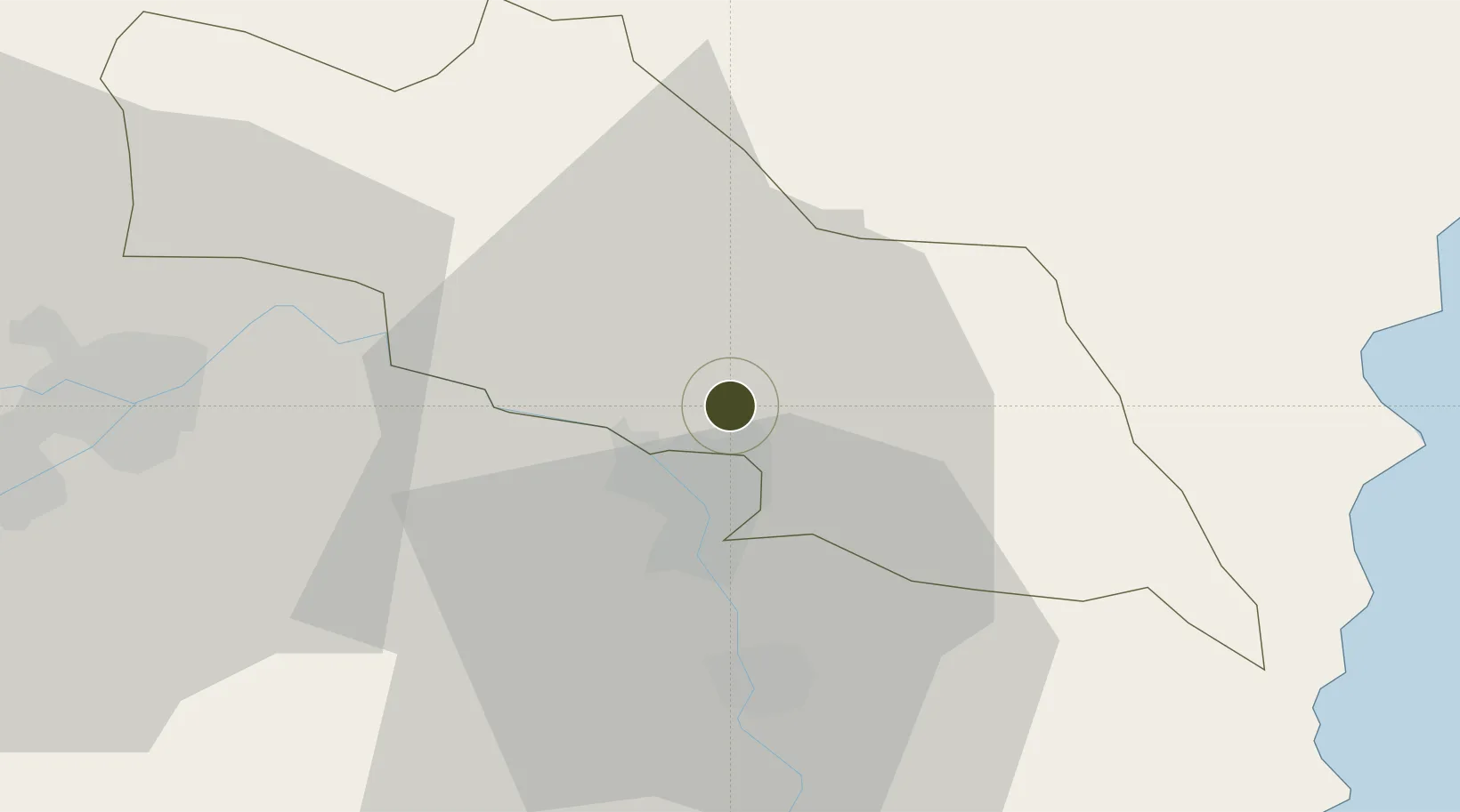
40.0200°, 48.9362°
20 ha
Zone area
639.0 km
Nearest port
71.5 km
Nearest airport

Gateway access

Nearest neighbours — logibook spatial index (haversine) over the source coordinates

Zone profile

Zone type
Diversified Zone
Open Zone Map
Region
Hajigabul
Open Zone Map
Status
Active
Open Zone Map
Management
Public
Open Zone Map
Operator
Azerbaijan Investment Company OJSC
Open Zone Map
Legal framework
Presidential Decree dated July 25, 2017
Open Zone Map

Location

Location of ozm-62
Natural Earth 10m (public domain) · Hajigabul · ozm-62 · 40.02, 48.94GoogleOSMYandex

Nearby Logistics Neighbours

Ports
  1. 1Batumi639 km
  2. 2Supsa Marine Terminal648 km
  3. 3Hopa654 km
  4. 4Rize721 km
  5. 5Sokhumi739 km
Nearest neighbours — logibook spatial index (haversine) over the source coordinates
Airports
  1. 1Kyurdamir Air Base72 km
  2. 2Nasosnaya Air Base83 km
  3. 3Sitalchay Airbase97 km
  4. 4Parsabad-Moghan Airport101 km
  5. 5Zabrat Airport103 km
Nearest neighbours — logibook spatial index (haversine) over the source coordinates
Cities
  1. 1Shirvan12 km
  2. 2Alat40 km
  3. 3Quba47 km
  4. 4Sangachal51 km
  5. 5Qaradag62 km
Nearest neighbours — logibook spatial index (haversine) over the source coordinates
Trade Zones
  1. 1Sabirabad Industrial Estate40 km
  2. 2Garadagh Industrial Park68 km
  3. 3Neftchala Industrial Estate73 km
  4. 4Sumgayit Chemical Industrial Park87 km
  5. 5Alat Free Economic Zone93 km
Nearest neighbours — logibook spatial index (haversine) over the source coordinates
DatabookThe Record of Consolidated Knowledge
Azerbaijan beyond logistics?
Browse databook

All Sources

Trade ZonesOpen Zone Map
CC BY
Portsthe NGA World Port Index
Public domain (US gov)
AirportsOurAirports
Public domain
LocationsUN/LOCODE
UN/LOCODE — free
← Azerbaijan trade zones