Transport Functions
Port
Rail
Road
Hub Profile
Place type
Populated place
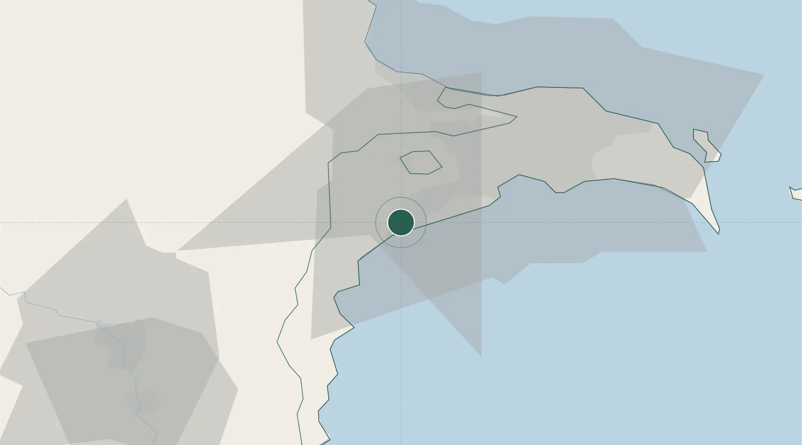
Region
Agsu District
Time zone
Asia/Baku
Elevation
26 m
Location
Nearby Logistics Neighbours
Ports
- 1Batumi685 km
- 2Supsa Marine Terminal691 km
- 3Hopa702 km
- 4Rize771 km
- 5Sokhumi778 km
Airports
- 1Nasosnaya Air Base38 km
- 2Zabrat Airport42 km
- 3Heydar Aliyev International Airport46 km
- 4Baku Kala Air Base54 km
- 5Sitalchay Airbase64 km
Trade Zones
DatabookThe Record of Consolidated Knowledge
Azerbaijan beyond logistics?