Transport Functions
Multimodal
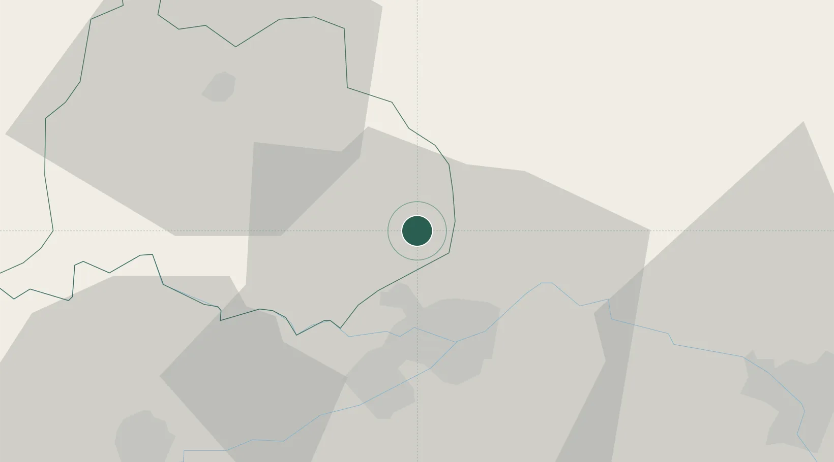
Hub Profile
Place type
Regional capital
Region
Quba
Population
22,405
Time zone
Asia/Baku
Elevation
600 m
Location
Nearby Logistics Neighbours
Ports
- 1Batumi592 km
- 2Supsa Marine Terminal601 km
- 3Hopa607 km
- 4Rize674 km
- 5Sokhumi693 km
Airports
- 1Kyurdamir Air Base25 km
- 2Parsabad-Moghan Airport78 km
- 3Gabala International Airport92 km
- 4Nasosnaya Air Base108 km
- 5Sitalchay Airbase112 km
Trade Zones
DatabookThe Record of Consolidated Knowledge
Azerbaijan beyond logistics?