Specialized Zone · Azerbaijan

Masalli Industrial Estate Active
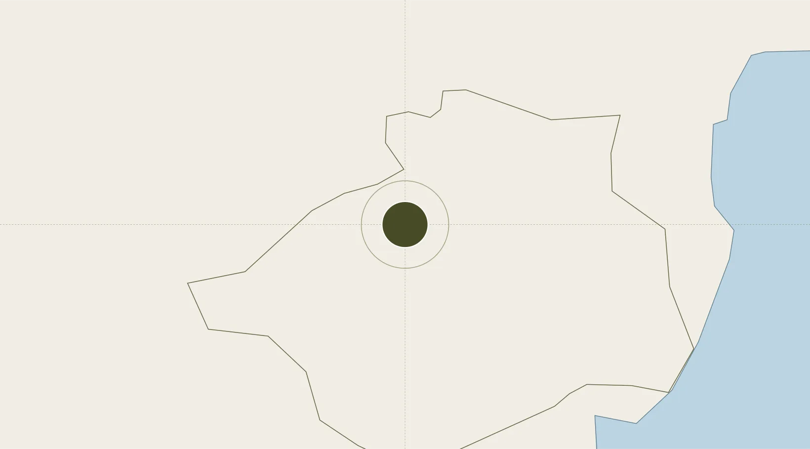
39.0370°, 48.6670°
10 ha
Zone area
661.6 km
Nearest port
12.5 km
Nearest airport

Gateway access

Nearest neighbours — logibook spatial index (haversine) over the source coordinates

Zone profile

Zone type
Specialized Zone
Open Zone Map
Specialization
Manufacturing
Open Zone Map
Region
Masallı
Open Zone Map
Status
Active
Open Zone Map
Management
Public
Open Zone Map
Operator
Azerbaijan Investment Company OJSC
Open Zone Map
Legal framework
Presidential Decree %232115 June 13, 2016
Open Zone Map

Location

Location of ozm-67
Natural Earth 10m (public domain) · Masallı · ozm-67 · 39.04, 48.67GoogleOSMYandex

Nearby Logistics Neighbours

Ports
  1. 1Batumi662 km
  2. 2Hopa671 km
  3. 3Supsa Marine Terminal678 km
  4. 4Rize729 km
  5. 5Sokhumi779 km
Nearest neighbours — logibook spatial index (haversine) over the source coordinates
Airports
  1. 1Qizilagach Air Base13 km
  2. 2Lankaran International Airport33 km
  3. 3Ardabil Airport82 km
  4. 4Parsabad-Moghan Airport92 km
  5. 5Kyurdamir Air Base144 km
Nearest neighbours — logibook spatial index (haversine) over the source coordinates
Cities
  1. 1Astara68 km
  2. 2Shirvan100 km
  3. 3Alat119 km
  4. 4Quba127 km
  5. 5Sangachal147 km
Nearest neighbours — logibook spatial index (haversine) over the source coordinates
Trade Zones
  1. 1Neftchala Industrial Estate63 km
  2. 2Namin Special Economic Zone71 km
  3. 3Astara Port Special Economic Zone73 km
  4. 4Sabirabad Industrial Estate106 km
  5. 5Hajigabul Industrial Estate112 km
Nearest neighbours — logibook spatial index (haversine) over the source coordinates
DatabookThe Record of Consolidated Knowledge
Azerbaijan beyond logistics?
Browse databook

All Sources

Trade ZonesOpen Zone Map
CC BY
Portsthe NGA World Port Index
Public domain (US gov)
AirportsOurAirports
Public domain
LocationsUN/LOCODE
UN/LOCODE — free
← Azerbaijan trade zones