Transport Functions
Rail
Road
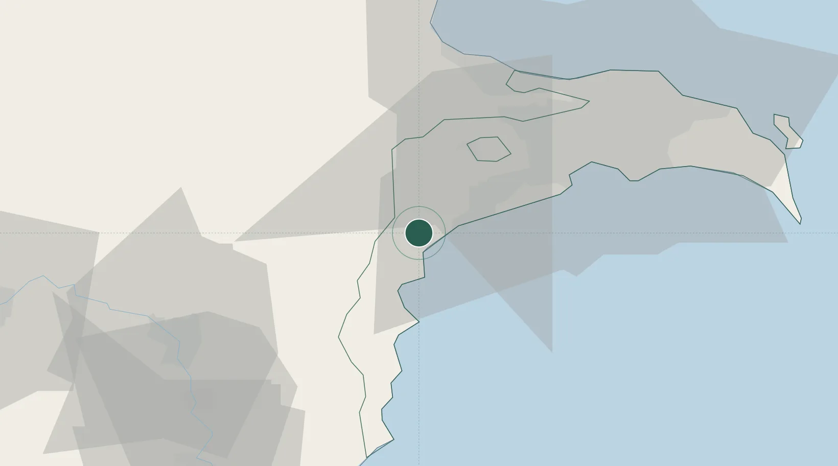
Hub Profile
Region
BA
Location
Nearby Logistics Neighbours
Ports
- 1Batumi677 km
- 2Supsa Marine Terminal684 km
- 3Hopa693 km
- 4Rize762 km
- 5Sokhumi771 km
Airports
- 1Nasosnaya Air Base44 km
- 2Zabrat Airport53 km
- 3Heydar Aliyev International Airport57 km
- 4Baku Kala Air Base65 km
- 5Sitalchay Airbase68 km
Trade Zones
DatabookThe Record of Consolidated Knowledge
Azerbaijan beyond logistics?