Small airport · Azerbaijan

Lankaran International AirportUBBL
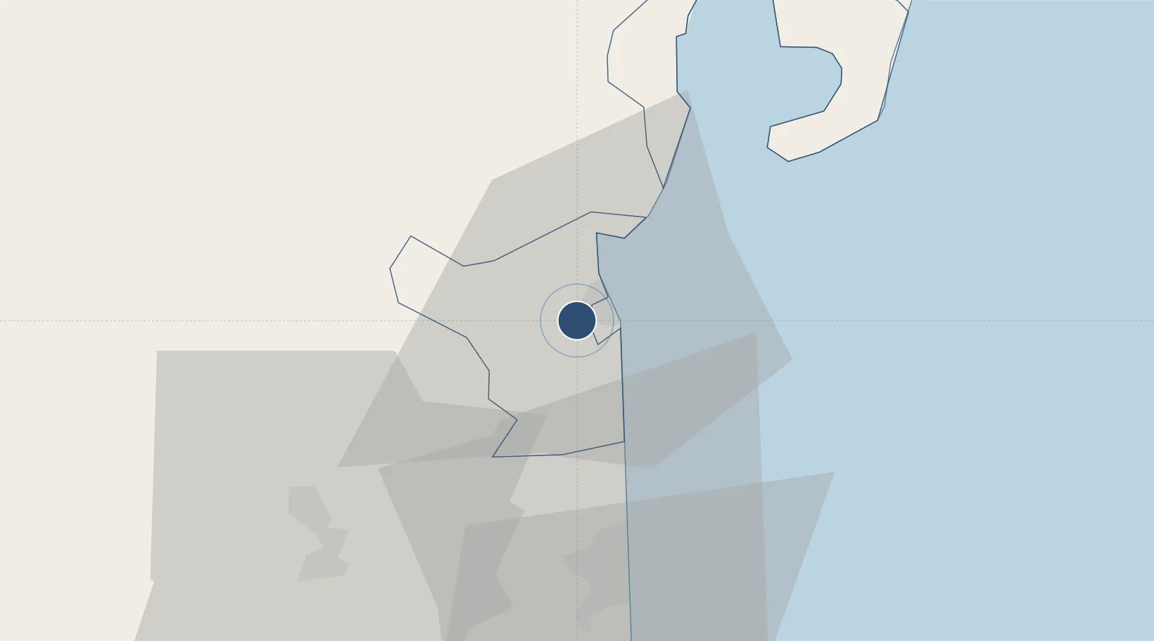
38.7579°, 48.8070°
10,837 ft
Longest runway
1
Runways
30 ft
Elevation

Runway & Layout

Lankaran International Airport runway & taxiway layout
Runway & taxiway layout — OpenStreetMap (ODbL) / OurAirports

Runways · 1

RunwayDimensions SurfaceTrue headingLit
15/33 10,837 × 148ft Asphalt 151°
OurAirports

Airport Specifications

IATA code
LLK
OurAirports
ICAO code
UBBL
OurAirports
Airport class
Small airport
OurAirports
Scheduled service
Yes
OurAirports
Runway surface
Asphalt
OurAirports
Served city
Lankaran
OurAirports

Location

Location of UBBL
Natural Earth 10m (public domain) · Lankaran · UBBL · 38.76, 48.81GoogleOSMYandex

Nearby Logistics Neighbours

Airports
  1. 1Qizilagach Air Base28 km
  2. 2Ardabil Airport59 km
  3. 3Parsabad-Moghan Airport123 km
  4. 4Sardar-e-Jangal Airport175 km
  5. 5Kyurdamir Air Base177 km
Nearest neighbours — logibook spatial index (haversine) over the source coordinates
Cities
  1. 1Astara35 km
  2. 2Shirvan129 km
  3. 3Alat142 km
  4. 4Bandar-e Anzali155 km
  5. 5Quba160 km
Nearest neighbours — logibook spatial index (haversine) over the source coordinates
Ports
  1. 1Batumi687 km
  2. 2Hopa696 km
  3. 3Supsa Marine Terminal706 km
  4. 4Rize752 km
  5. 5Sokhumi808 km
Nearest neighbours — logibook spatial index (haversine) over the source coordinates
Trade Zones
  1. 1Masalli Industrial Estate33 km
  2. 2Astara Port Special Economic Zone40 km
  3. 3Namin Special Economic Zone48 km
  4. 4Neftchala Industrial Estate81 km
  5. 5Sabirabad Industrial Estate139 km
Nearest neighbours — logibook spatial index (haversine) over the source coordinates
DatabookThe Record of Consolidated Knowledge
Azerbaijan beyond logistics?
Browse databook

All Sources

AirportsOurAirports
Public domain
Portsthe NGA World Port Index
Public domain (US gov)
LocationsUN/LOCODE
UN/LOCODE — free
Trade Zonesthe World Bank SEZ database
CC BY 4.0
Trade ZonesOpen Zone Map
CC BY
InfrastructureOpenStreetMap
ODbL 1.0
← Azerbaijan airports