Diversified Zone · Azerbaijan

Sabirabad Industrial Estate Active
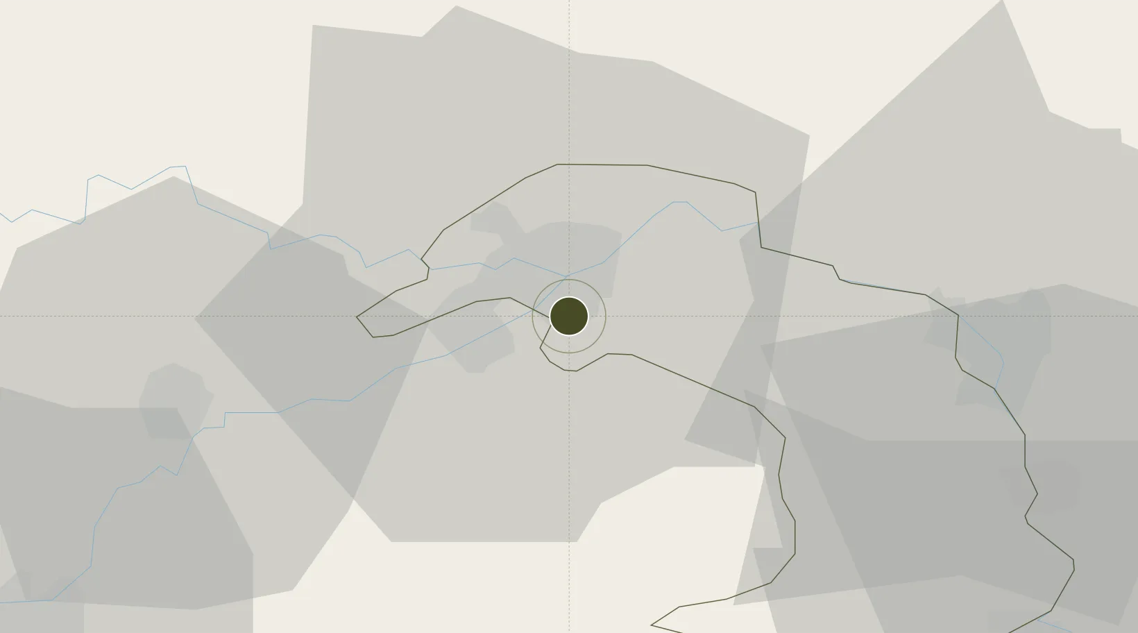
39.9808°, 48.4701°
20 ha
Zone area
603.0 km
Nearest port
41.7 km
Nearest airport

Gateway access

Nearest neighbours — logibook spatial index (haversine) over the source coordinates

Zone profile

Zone type
Diversified Zone
Open Zone Map
Region
Sabirabad
Open Zone Map
Status
Active
Open Zone Map
Management
Public
Open Zone Map
Operator
Azerbaijan Investment Company OJSC
Open Zone Map
Legal framework
Order of the President of the Republic of Azerbaijan Mr. Ilham Aliyev dated November 27, 2017
Open Zone Map

Location

Location of ozm-61
Natural Earth 10m (public domain) · Sabirabad · ozm-61 · 39.98, 48.47GoogleOSMYandex

Nearby Logistics Neighbours

Ports
  1. 1Batumi603 km
  2. 2Supsa Marine Terminal613 km
  3. 3Hopa617 km
  4. 4Rize683 km
  5. 5Sokhumi707 km
Nearest neighbours — logibook spatial index (haversine) over the source coordinates
Airports
  1. 1Kyurdamir Air Base42 km
  2. 2Parsabad-Moghan Airport66 km
  3. 3Gabala International Airport112 km
  4. 4Qizilagach Air Base112 km
  5. 5Nasosnaya Air Base115 km
Nearest neighbours — logibook spatial index (haversine) over the source coordinates
Cities
  1. 1Quba21 km
  2. 2Shirvan39 km
  3. 3Alat79 km
  4. 4Sangachal90 km
  5. 5Qaradag101 km
Nearest neighbours — logibook spatial index (haversine) over the source coordinates
Trade Zones
  1. 1Hajigabul Industrial Estate40 km
  2. 2Neftchala Industrial Estate91 km
  3. 3Masalli Industrial Estate106 km
  4. 4Garadagh Industrial Park107 km
  5. 5Sumgayit Chemical Industrial Park119 km
Nearest neighbours — logibook spatial index (haversine) over the source coordinates
DatabookThe Record of Consolidated Knowledge
Azerbaijan beyond logistics?
Browse databook

All Sources

Trade ZonesOpen Zone Map
CC BY
Portsthe NGA World Port Index
Public domain (US gov)
AirportsOurAirports
Public domain
LocationsUN/LOCODE
UN/LOCODE — free
← Azerbaijan trade zones