Transport Functions
Multimodal
Hub Profile
Place type
Populated place
Region
Henan
Time zone
Asia/Shanghai
Elevation
59 m
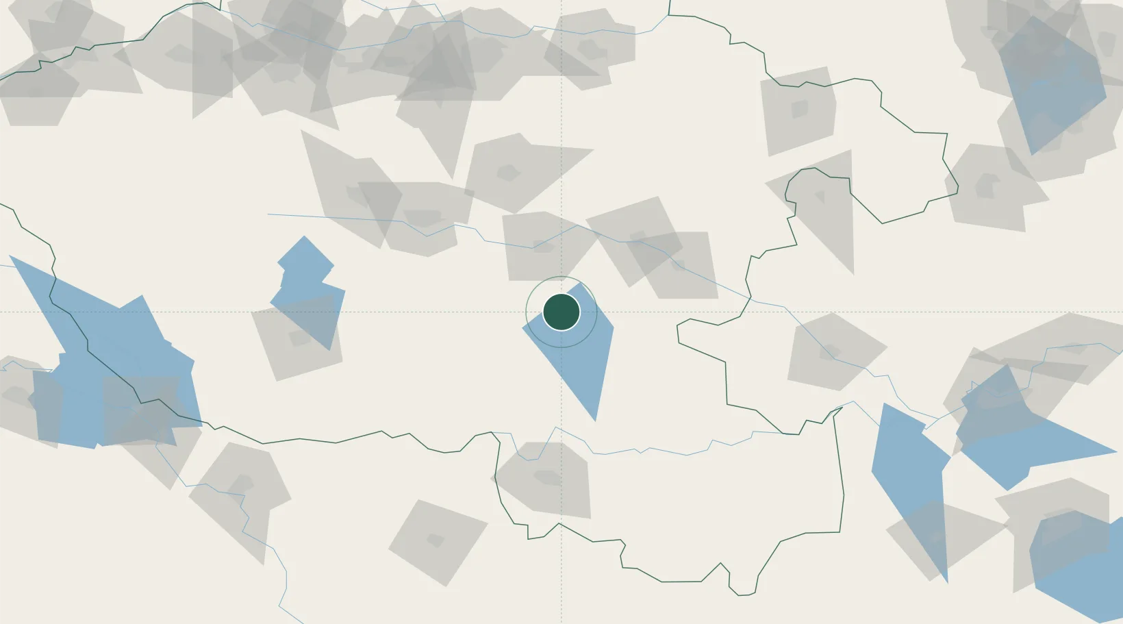
Location
Nearby Logistics Neighbours
Cities
- 1Zhoukou66 km
- 2Pingdingshan102 km
- 3Wulidian115 km
- 4Xinyang115 km
- 5Nanyang153 km
Ports
- 1Hankow288 km
- 2Nanjing446 km
- 3Yangzhou503 km
- 4Zhenjiang504 km
- 5Lianyungang517 km
Airports
- 1Xinyang Minggang Airport70 km
- 2Luyang Air Base132 km
- 3Nanyang Jiangying Airport146 km
- 4Fuyang Xiguan Airport150 km
- 5Zhengzhou Xinzheng International Airport154 km
DatabookThe Record of Consolidated Knowledge
China beyond logistics?