Transport Functions
Rail
Road
Hub Profile
Place type
Populated place
Region
Shanxi
Population
959,198
Time zone
Asia/Shanghai
Elevation
451 m
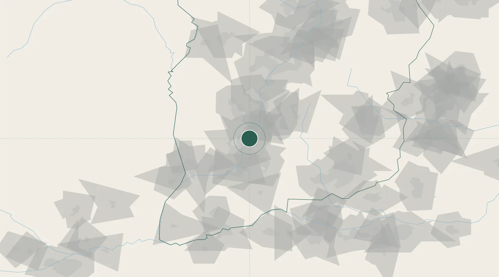
Location
Nearby Logistics Neighbours
Ports
- 1Tianjin Xin Gang643 km
- 2Hankow663 km
- 3Lanshan718 km
- 4Rizhao731 km
- 5Lianyungang734 km
Airports
- 1Linfen Yaodu Airport13 km
- 2Yuncheng Yanhu International Airport116 km
- 3Changzhi Wangcun Airport146 km
- 4Wenshui Air Base153 km
- 5Luoyang Beijiao Airport169 km
DatabookThe Record of Consolidated Knowledge
China beyond logistics?