Channel & Berth Profile
Pilotage, Tugs & Services
Pilotage compulsoryYES
Pilotage availableYES
Tug assistanceYES
Potable waterYES
MedicalYES
Facilities & Capabilities
Container—
Ro-Ro—
Liquid bulk—
Dry bulk—
Oil terminal—
Break bulk—
Dry dock—
RepairsNO
BunkeringYES
Rail link—
Dangerous cargo—
ISPS security—
Harbour Specifications
Harbour size
Very Small
Harbour type
River (Natural)
Shelter
Good
Water body
East China Sea; North Pacific Ocean
Tidal range
4 m
Pilotage
Yes
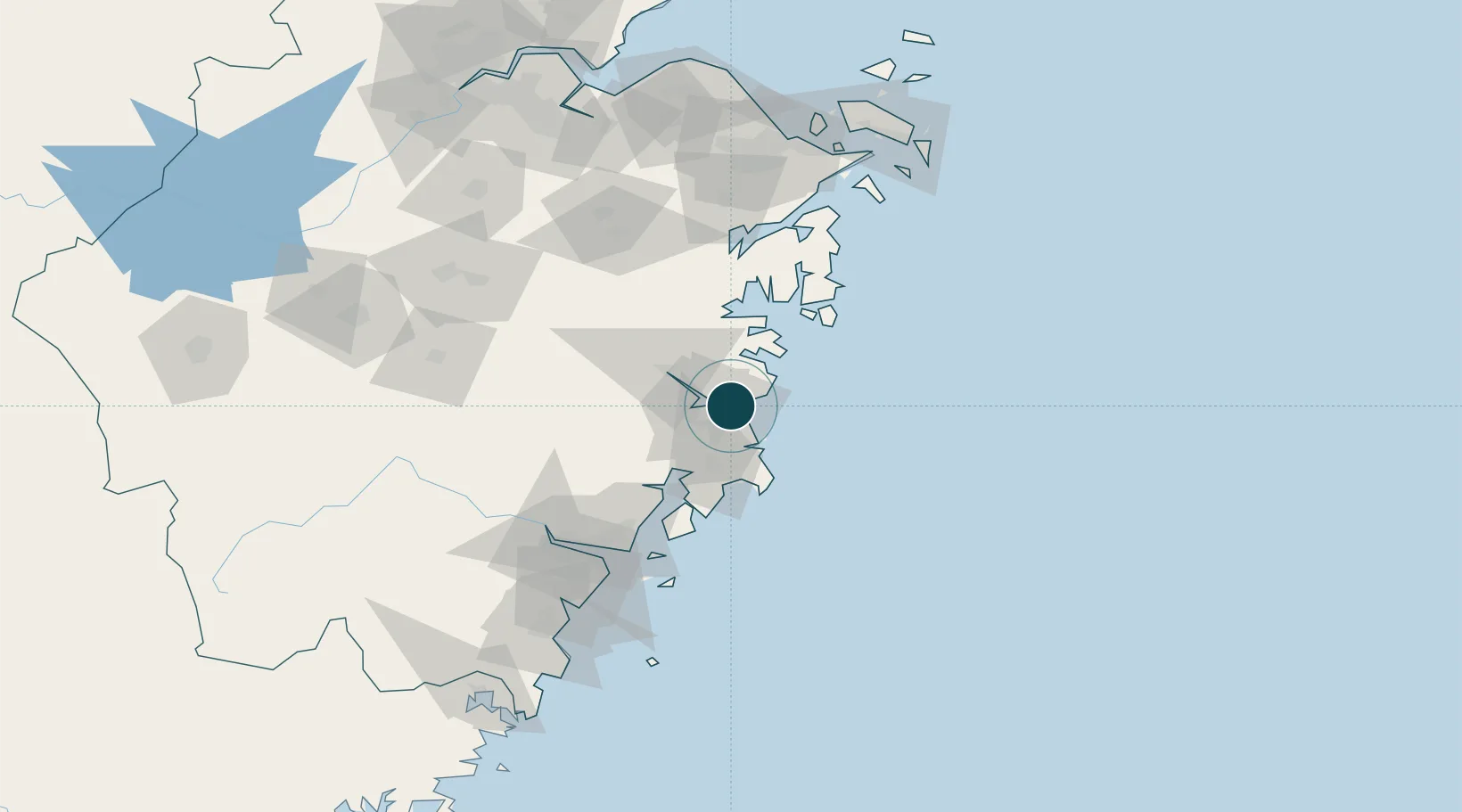
Location
Nearby Logistics Neighbours
Cities
- 1Huangyan20 km
- 2Linhai37 km
- 3Wenling Longmen Port60 km
- 4Yuhuan65 km
- 5Damaiyu73 km
Airports
- 1Taizhou Luqiao Airport14 km
- 2Wenzhou Longwan International Airport104 km
- 3Ningbo Lishe International Airport127 km
- 4Ningbo Zhuangqiao Air Base138 km
- 5Yiwu Airport156 km
DatabookThe Record of Consolidated Knowledge
China beyond logistics?