Runway & Layout

Airport Specifications
IATA code
ZXT
ICAO code
UBTT
Airport class
Medium airport
Scheduled service
No
Served city
Zabrat
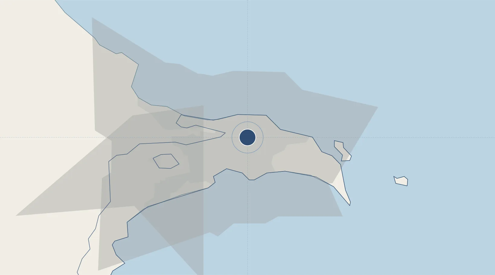
Location
Nearby Logistics Neighbours
Airports
- 1Heydar Aliyev International Airport7 km
- 2Baku Kala Air Base21 km
- 3Nasosnaya Air Base37 km
- 4Sitalchay Airbase58 km
- 5Kyurdamir Air Base156 km
Ports
- 1Batumi710 km
- 2Supsa Marine Terminal713 km
- 3Hopa727 km
- 4Sokhumi795 km
- 5Rize799 km
Trade Zones
DatabookThe Record of Consolidated Knowledge
Azerbaijan beyond logistics?