Specialized Zone · Azerbaijan

Sumgayit Chemical Industrial Park Active
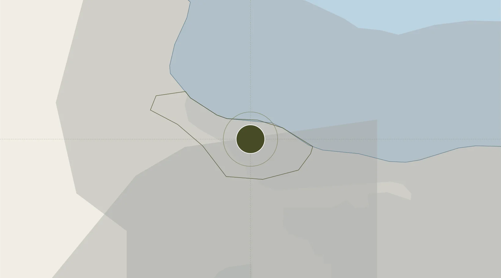
40.5963°, 49.6230°
505 ha
Zone area
677.8 km
Nearest port
5.6 km
Nearest airport

Gateway access

Nearest neighbours — logibook spatial index (haversine) over the source coordinates

Zone profile

Zone type
Specialized Zone
Open Zone Map
Specialization
Chemical
Open Zone Map
Region
Sumqayıt
Open Zone Map
Status
Active
Open Zone Map
Management
Public-Private Partnership
Open Zone Map
Operator
Sumgait Chemical Industrial Park, LLC.
Open Zone Map
Legal framework
Presidential Decree %23548, December 21 2011
Open Zone Map

Location

Location of ozm-65
Natural Earth 10m (public domain) · Sumqayıt · ozm-65 · 40.60, 49.62GoogleOSMYandex

Nearby Logistics Neighbours

Ports
  1. 1Batumi678 km
  2. 2Supsa Marine Terminal681 km
  3. 3Hopa696 km
  4. 4Sokhumi763 km
  5. 5Rize768 km
Nearest neighbours — logibook spatial index (haversine) over the source coordinates
Airports
  1. 1Nasosnaya Air Base6 km
  2. 2Sitalchay Airbase29 km
  3. 3Zabrat Airport32 km
  4. 4Heydar Aliyev International Airport39 km
  5. 5Baku Kala Air Base53 km
Nearest neighbours — logibook spatial index (haversine) over the source coordinates
Cities
  1. 1Sumqayit4 km
  2. 2Qaradag39 km
  3. 3Sangachal46 km
  4. 4Siyazan68 km
  5. 5Alat74 km
Nearest neighbours — logibook spatial index (haversine) over the source coordinates
Trade Zones
  1. 1Balakhani Industrial Park28 km
  2. 2Alat Free Economic Zone31 km
  3. 3ANAS High Technologies Park35 km
  4. 4Garadagh Industrial Park37 km
  5. 5Pirallahi Industrial Park65 km
Nearest neighbours — logibook spatial index (haversine) over the source coordinates
DatabookThe Record of Consolidated Knowledge
Azerbaijan beyond logistics?
Browse databook

All Sources

Trade ZonesOpen Zone Map
CC BY
Portsthe NGA World Port Index
Public domain (US gov)
AirportsOurAirports
Public domain
LocationsUN/LOCODE
UN/LOCODE — free
← Azerbaijan trade zones