Large airport · China

Jinan Yaoqiang International AirportZSJN
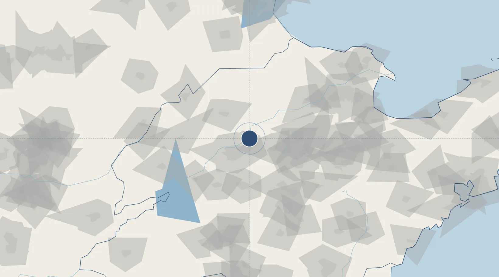
36.8572°, 117.2160°
11,812 ft
Longest runway
1
Runways
76 ft
Elevation

Runway & Layout

Jinan Yaoqiang International Airport runway & taxiway layout
Runway & taxiway layout — OpenStreetMap (ODbL) / OurAirports

Radio Frequencies

ATIS
127.05 MHz
TWR
118.55 MHz
JINAN TWR
OurAirports

Navaids

YQG VOR-DME Jinan 113.70 MHz
OurAirports

Runways · 1

RunwayDimensions SurfaceTrue headingLit
01/19 11,812 × 148ft Concrete 360°
OurAirports

Airport Specifications

IATA code
TNA
OurAirports
ICAO code
ZSJN
OurAirports
Airport class
Large airport
OurAirports
Scheduled service
Yes
OurAirports
Runway surface
Concrete
OurAirports
Served city
Jinan (Licheng)
OurAirports

Location

Location of ZSJN
Natural Earth 10m (public domain) · Shandong · ZSJN · 36.86, 117.22GoogleOSMYandex

Nearby Logistics Neighbours

Airports
  1. 1Guodu Air Base102 km
  2. 2Jiugucheng Air Base120 km
  3. 3Jining Da'an Airport141 km
  4. 4Dongying Shengli Airport157 km
  5. 5Weifang Nanyuan Airport171 km
Nearest neighbours — logibook spatial index (haversine) over the source coordinates
Cities
  1. 1Pingdu22 km
  2. 2Jinan29 km
  3. 3Zibo75 km
  4. 4Taian75 km
  5. 5Leling97 km
Nearest neighbours — logibook spatial index (haversine) over the source coordinates
Ports
  1. 1Tianjin Xin Gang241 km
  2. 2Rizhao267 km
  3. 3Lanshan277 km
  4. 4Longkou Gang285 km
  5. 5Qingdao Gang288 km
Nearest neighbours — logibook spatial index (haversine) over the source coordinates
Trade Zones
  1. 1Jibei Economic Development Zone14 km
  2. 2Jinan (Jinan) Hi-Tech Industrial Development Zone20 km
  3. 3Jinan Export Processing Zone22 km
  4. 4Huaiyin Industrial Park30 km
  5. 5Shanghe Economic Development Zone34 km
Nearest neighbours — logibook spatial index (haversine) over the source coordinates
DatabookThe Record of Consolidated Knowledge
China beyond logistics?
Browse databook

All Sources

AirportsOurAirports
Public domain
Portsthe NGA World Port Index
Public domain (US gov)
LocationsUN/LOCODE
UN/LOCODE — free
Trade Zonesthe World Bank SEZ database
CC BY 4.0
Trade ZonesOpen Zone Map
CC BY
InfrastructureOpenStreetMap
ODbL 1.0
← China airports