Transport Functions
Multimodal
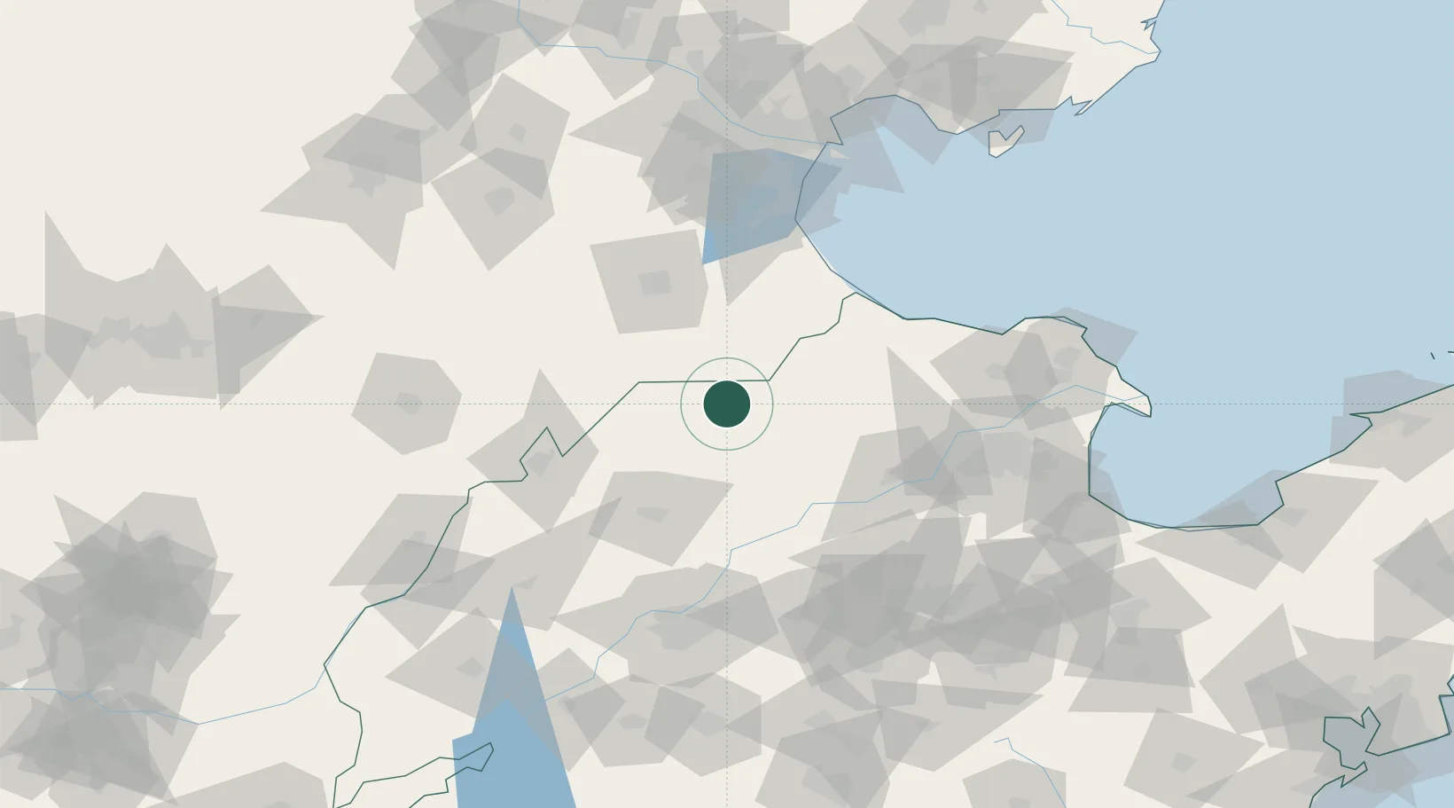
Hub Profile
Place type
District seat
Region
Shandong
Time zone
Asia/Shanghai
Elevation
15 m
Location
Nearby Logistics Neighbours
Cities
- 1Huanghua Pt70 km
- 2Cangzhou70 km
- 3Dezhou89 km
- 4Pingdu108 km
- 5Jinan120 km
Ports
- 1Tianjin Xin Gang147 km
- 2Tangshan (Jingtang)226 km
- 3Longkou Gang270 km
- 4Penglai318 km
- 5Qinhuangdao321 km
Airports
- 1Cangxian Air Base79 km
- 2Jinan Yaoqiang International Airport97 km
- 3Jiugucheng Air Base101 km
- 4Tangguantun Air Base117 km
- 5Dongying Shengli Airport141 km
DatabookThe Record of Consolidated Knowledge
China beyond logistics?