Export Processing Zone · China

Fucheng Economic Development Zone Active
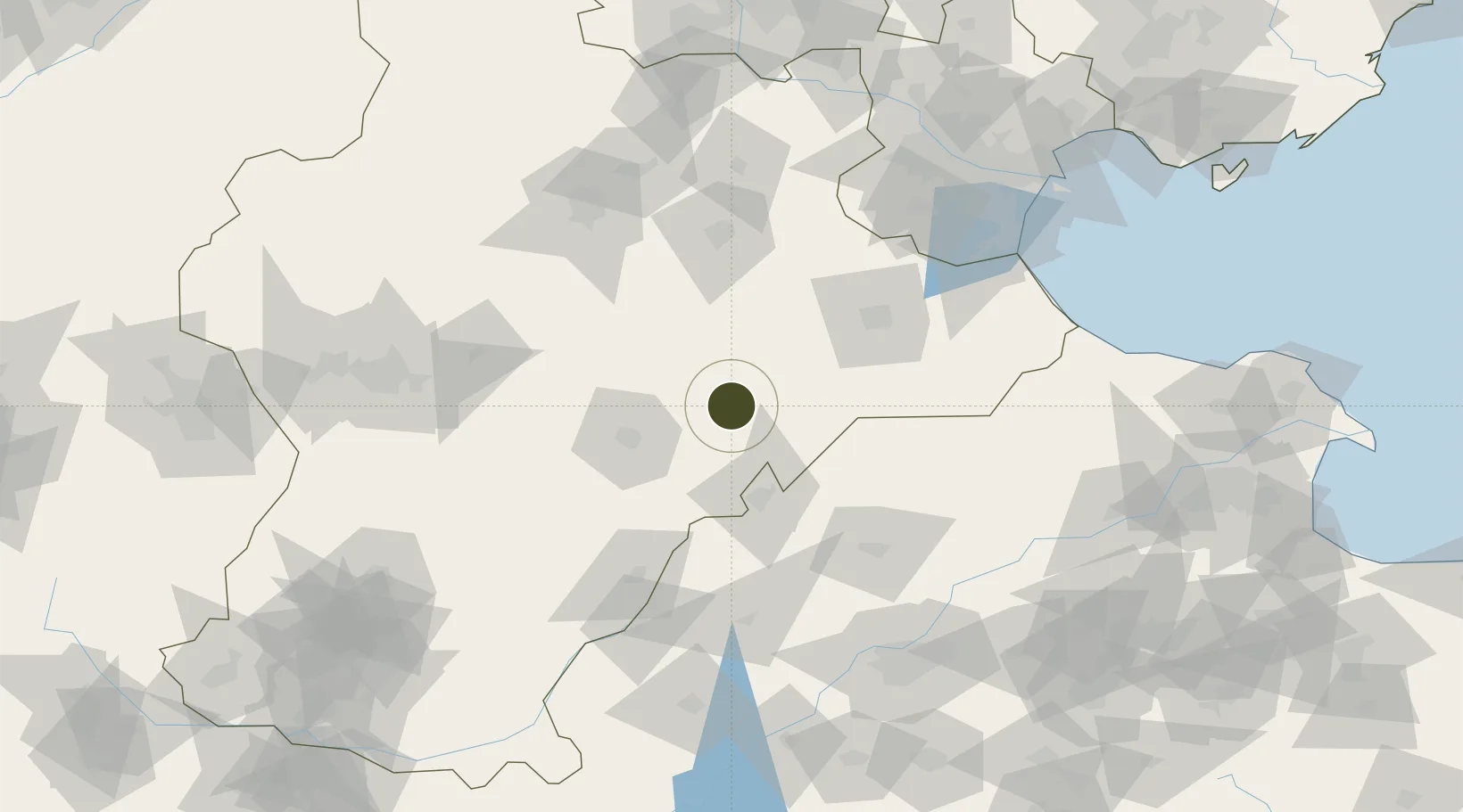
37.8906°, 116.1770°
403 ha
Zone area
187.4 km
Nearest port
44.7 km
Nearest airport

Gateway access

Nearest neighbours — logibook spatial index (haversine) over the source coordinates

Zone profile

Zone type
Export Processing Zone
Open Zone Map
Region
Hebei
Open Zone Map
Status
Active
Open Zone Map
Management
Public
Open Zone Map
Operator
Fucheng Economic Development Management Committee
Open Zone Map
Legal framework
The provincial economic development zone approved by the provincial government in July 2011
Open Zone Map

Location

Location of ozm-1132
Natural Earth 10m (public domain) · Hebei · ozm-1132 · 37.89, 116.18GoogleOSMYandex

Nearby Logistics Neighbours

Ports
  1. 1Tianjin Xin Gang187 km
  2. 2Tangshan (Jingtang)287 km
  3. 3Longkou Gang362 km
  4. 4Qinhuangdao374 km
  5. 5Penglai409 km
Nearest neighbours — logibook spatial index (haversine) over the source coordinates
Airports
  1. 1Jiugucheng Air Base45 km
  2. 2Cangxian Air Base87 km
  3. 3Tangguantun Air Base126 km
  4. 4Shijiazhuang Zhengding International Airport137 km
  5. 5Jinan Yaoqiang International Airport147 km
Nearest neighbours — logibook spatial index (haversine) over the source coordinates
Cities
  1. 1Dezhou52 km
  2. 2Cangzhou76 km
  3. 3Xinji86 km
  4. 4Leling93 km
  5. 5Huanghua Pt115 km
Nearest neighbours — logibook spatial index (haversine) over the source coordinates
Trade Zones
  1. 1Wuqiang Economic Development Zone22 km
  2. 2Wuyi Economic Development Zone30 km
  3. 3Xian County Economic Development Zone32 km
  4. 4Dongguang Economic Development Zone35 km
  5. 5Wuqiao Economic Development Zone35 km
Nearest neighbours — logibook spatial index (haversine) over the source coordinates
DatabookThe Record of Consolidated Knowledge
China beyond logistics?
Browse databook

All Sources

Trade ZonesOpen Zone Map
CC BY
Portsthe NGA World Port Index
Public domain (US gov)
AirportsOurAirports
Public domain
LocationsUN/LOCODE
UN/LOCODE — free
← China trade zones