Export Processing Zone · China

Changchun Wukeshu Modern Agricultural Industry Development Zone Active
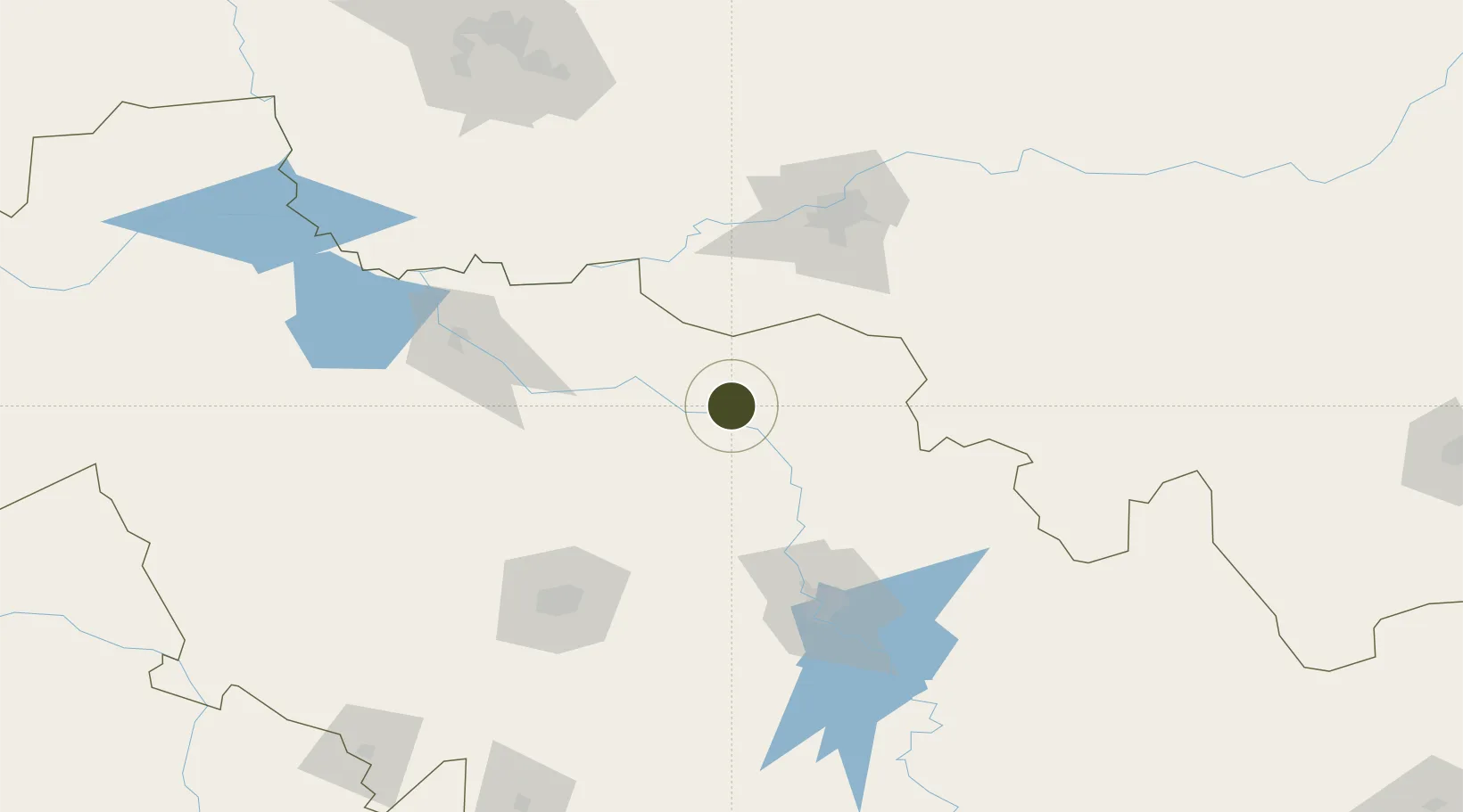
44.8076°, 126.1424°
2,249 ha
Zone area
440.7 km
Nearest port
77.5 km
Nearest airport

Gateway access

Nearest neighbours — logibook spatial index (haversine) over the source coordinates

Zone profile

Zone type
Export Processing Zone
Open Zone Map
Region
Jilin
Open Zone Map
Status
Active
Open Zone Map
Management
Public
Open Zone Map
Operator
Working Committee of Changchun Wukeshu Modern Agricultural Industry Development Zone
Open Zone Map
Legal framework
Government Procurement Law of the People's Republic of China
Open Zone Map

Location

Location of ozm-1364
Natural Earth 10m (public domain) · Jilin · ozm-1364 · 44.81, 126.14GoogleOSMYandex

Nearby Logistics Neighbours

Ports
  1. 1Najin441 km
  2. 2Pos'yet444 km
  3. 3Ch'ongjin450 km
  4. 4Zarubino465 km
  5. 5Slavyanka472 km
Nearest neighbours — logibook spatial index (haversine) over the source coordinates
Airports
  1. 1Lalin Air Base78 km
  2. 2Harbin Taiping International Airport91 km
  3. 3Changchun Longjia International Airport97 km
  4. 4Changchun Air Base125 km
  5. 5Songyuan Chaganhu Airport126 km
Nearest neighbours — logibook spatial index (haversine) over the source coordinates
Cities
  1. 1Dehui46 km
  2. 2Shuangcheng61 km
  3. 3Harbin109 km
  4. 4Changchun120 km
  5. 5Zhaodong141 km
Nearest neighbours — logibook spatial index (haversine) over the source coordinates
DatabookThe Record of Consolidated Knowledge
China beyond logistics?
Browse databook

All Sources

Trade ZonesOpen Zone Map
CC BY
Portsthe NGA World Port Index
Public domain (US gov)
AirportsOurAirports
Public domain
LocationsUN/LOCODE
UN/LOCODE — free
← China trade zones