Medium airport · Zimbabwe
Kariba AirportFVKB
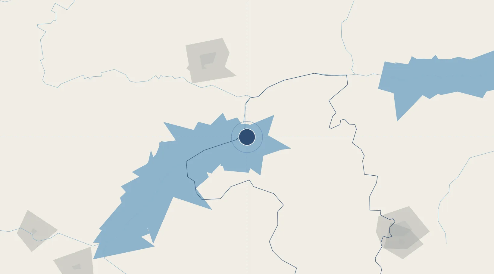
-16.5198°, 28.8850°
5,413 ft
Longest runway
1
Runways
1,706 ft
Elevation
Runway & Layout

Radio Frequencies
TWR
125.3 MHz
APP
125.3 MHz
Navaids
DW NDB Kariba 300 kHz
KB NDB Kariba 399 kHz
Runways · 1
| Runway | Dimensions | Surface | True heading | Lit |
|---|---|---|---|---|
| 09/27 | 5,413 × 49ft | Asphalt | 082° | ✓ |
Airport Specifications
IATA code
KAB
ICAO code
FVKB
Airport class
Medium airport
Scheduled service
Yes
Runway surface
Asphalt
Served city
Kariba
Location
Nearby Logistics Neighbours
Airports
Ports
- 1Beira728 km
- 2Chinde839 km
- 3Quelimane863 km
- 4Porto Belo892 km
- 5Pebane989 km
DatabookThe Record of Consolidated Knowledge
Zimbabwe beyond logistics?