Transport Functions
Port
Multimodal
Hub Profile
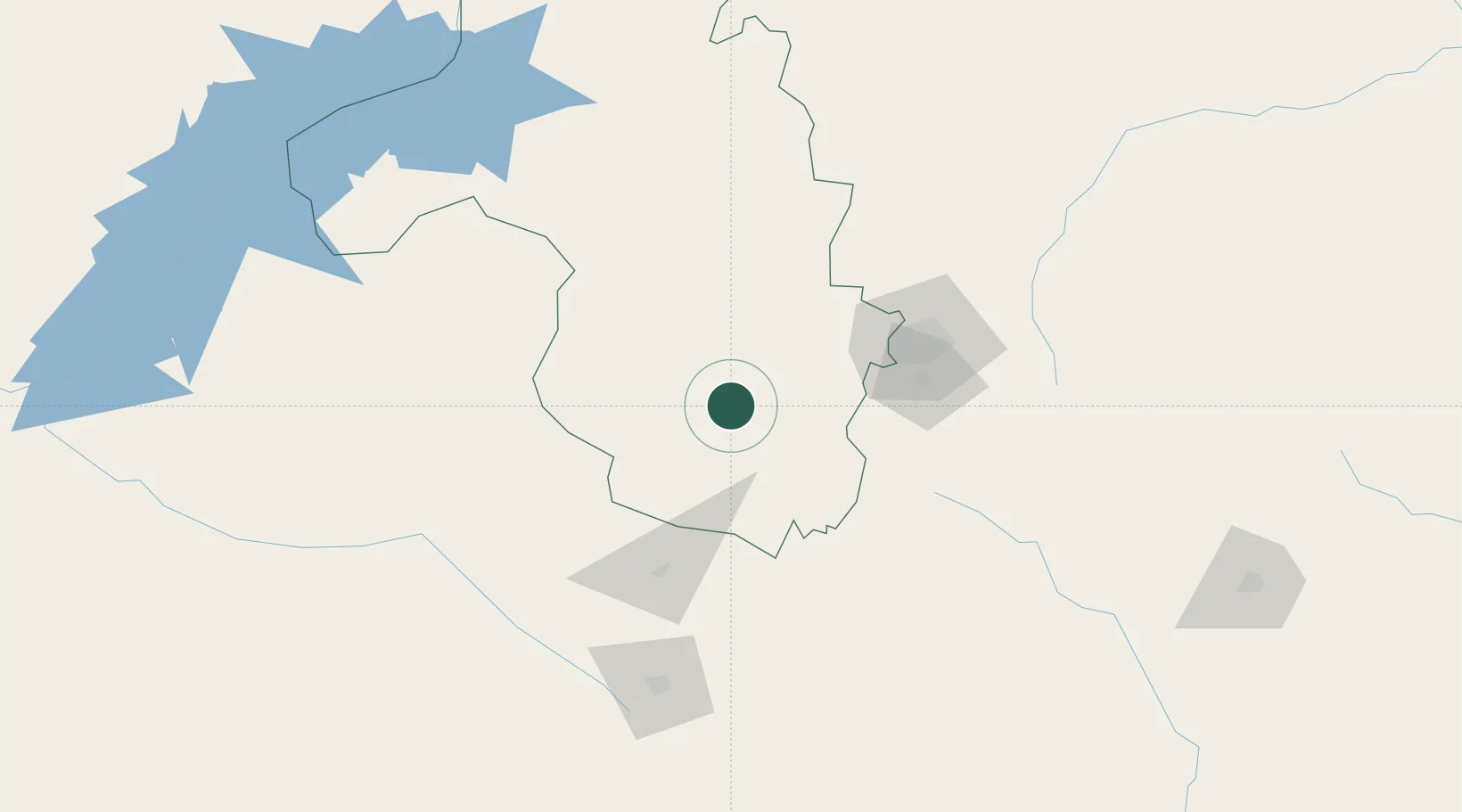
Place type
Populated place
Region
Mashonaland West
Population
65,800
Time zone
Africa/Harare
Elevation
1,187 m
Location
Nearby Logistics Neighbours
Cities
- 1Norton65 km
- 2Marlborough121 km
- 3Gokwe129 km
- 4Rusape212 km
- 5Mutoko234 km
Ports
- 1Beira527 km
- 2Chinde672 km
- 3Quelimane713 km
- 4Porto Belo746 km
- 5Inhambane843 km
Airports
- 1Robert Gabriel Mugabe International Airport102 km
- 2Josiah Tungamirai Air Force Base148 km
- 3Kariba Airport224 km
- 4Masvingo International Airport226 km
- 5Mutoko Airport229 km
Trade Zones
DatabookThe Record of Consolidated Knowledge
Zimbabwe beyond logistics?