Free Trade Zone · Vietnam

Nghi Son Coastal Economic Zone Active
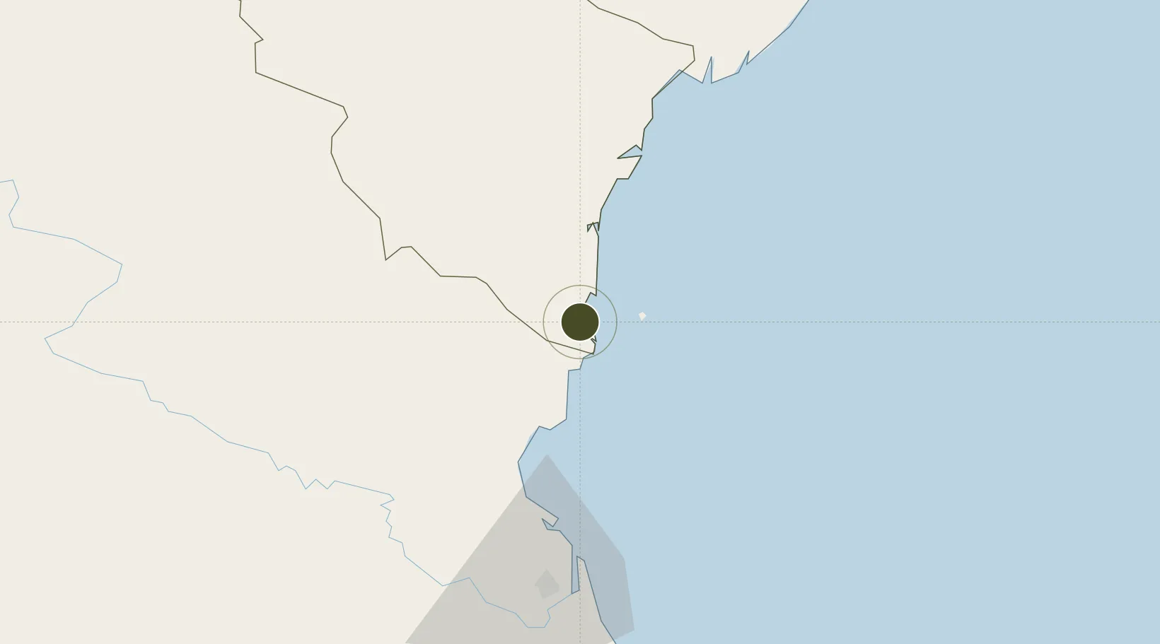
19.3559°, 105.7722°
106,000 ha
Zone area
65.5 km
Nearest port
68.6 km
Nearest airport

Gateway access

Nearest neighbours — logibook spatial index (haversine) over the source coordinates

Zone profile

Zone type
Free Trade Zone
Open Zone Map
Region
Thanh Hóa
Open Zone Map
Status
Active
Open Zone Map
Management
Public
Open Zone Map
Operator
Nghi Son Economic Zone Management Board
Open Zone Map
Legal framework
Decision No. 102/2006/QD-TTg, Decree No.29/2008/ND-CP, Decision No. 1353/QD·TTg Sept. 23, 2008
Open Zone Map

Location

Location of ozm-5201
Natural Earth 10m (public domain) · Thanh Hóa · ozm-5201 · 19.36, 105.77GoogleOSMYandex

Nearby Logistics Neighbours

Ports
  1. 1Nghe Tinh66 km
  2. 2Hai Phong198 km
  3. 3Hon Gai223 km
  4. 4Cam Pha250 km
  5. 5Basuo300 km
Nearest neighbours — logibook spatial index (haversine) over the source coordinates
Airports
  1. 1Tho Xuan Airport69 km
  2. 2Vinh Airport70 km
  3. 3Gia Lam Air Base188 km
  4. 4Cat Bi International Airport191 km
  5. 5Noi Bai International Airport207 km
Nearest neighbours — logibook spatial index (haversine) over the source coordinates
Cities
  1. 1Nghi Son7 km
  2. 2Kim Dong19 km
  3. 3Cua Lo60 km
  4. 4Culao62 km
  5. 5Vinh70 km
Nearest neighbours — logibook spatial index (haversine) over the source coordinates
Trade Zones
  1. 1Nghi Son Economic Zone5 km
  2. 2Nghi Son Industrial Zone7 km
  3. 3Hoàng Mai Mai Industrial Zone23 km
  4. 4Lễ Môn Industrial Park48 km
  5. 5Định Hướng - Tay Ga Industrial Zone55 km
Nearest neighbours — logibook spatial index (haversine) over the source coordinates
DatabookThe Record of Consolidated Knowledge
Vietnam beyond logistics?
Browse databook

All Sources

Trade ZonesOpen Zone Map
CC BY
Portsthe NGA World Port Index
Public domain (US gov)
AirportsOurAirports
Public domain
LocationsUN/LOCODE
UN/LOCODE — free
← Vietnam trade zones