Diversified Zone · Vietnam

Định Hướng - Tay Ga Industrial Zone Active
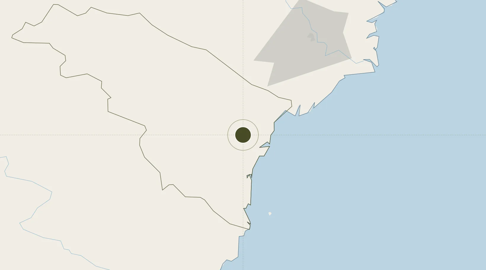
19.8493°, 105.7672°
163 ha
Zone area
120.4 km
Nearest port
31.8 km
Nearest airport

Gateway access

Nearest neighbours — logibook spatial index (haversine) over the source coordinates

Zone profile

Zone type
Diversified Zone
Open Zone Map
Region
Thanh Hóa
Open Zone Map
Status
Active
Open Zone Map
Management
Public-Private Partnership
Open Zone Map
Operator
Management Board of NGHI Son Economic Zone and Indutrial Parks
Open Zone Map
Legal framework
Decree No.82/2018/ND-CP on Management of Industrial Parks and Economic Zones, Decree No 218/2013/ND-CP
Open Zone Map

Location

Location of ozm-5181
Natural Earth 10m (public domain) · Thanh Hóa · ozm-5181 · 19.85, 105.77GoogleOSMYandex

Nearby Logistics Neighbours

Ports
  1. 1Nghe Tinh120 km
  2. 2Hai Phong152 km
  3. 3Hon Gai183 km
  4. 4Cam Pha212 km
  5. 5Basuo310 km
Nearest neighbours — logibook spatial index (haversine) over the source coordinates
Airports
  1. 1Tho Xuan Airport32 km
  2. 2Vinh Airport124 km
  3. 3Gia Lam Air Base133 km
  4. 4Cat Bi International Airport147 km
  5. 5Noi Bai International Airport153 km
Nearest neighbours — logibook spatial index (haversine) over the source coordinates
Cities
  1. 1Kim Dong45 km
  2. 2Nghi Son58 km
  3. 3Nghe Tinh73 km
  4. 4Phu Lý77 km
  5. 5Hoa Mac91 km
Nearest neighbours — logibook spatial index (haversine) over the source coordinates
Trade Zones
  1. 1Lễ Môn Industrial Park8 km
  2. 2Bỉm Sơn B Industrial Zone30 km
  3. 3Bỉm Sơn A Industrial Zone30 km
  4. 4Lam Sơn - Sao Vàng Industrial Zone32 km
  5. 5Nghi Son Coastal Economic Zone55 km
Nearest neighbours — logibook spatial index (haversine) over the source coordinates
DatabookThe Record of Consolidated Knowledge
Vietnam beyond logistics?
Browse databook

All Sources

Trade ZonesOpen Zone Map
CC BY
Portsthe NGA World Port Index
Public domain (US gov)
AirportsOurAirports
Public domain
LocationsUN/LOCODE
UN/LOCODE — free
← Vietnam trade zones