Transport Functions
Port
Road
Hub Profile
Place type
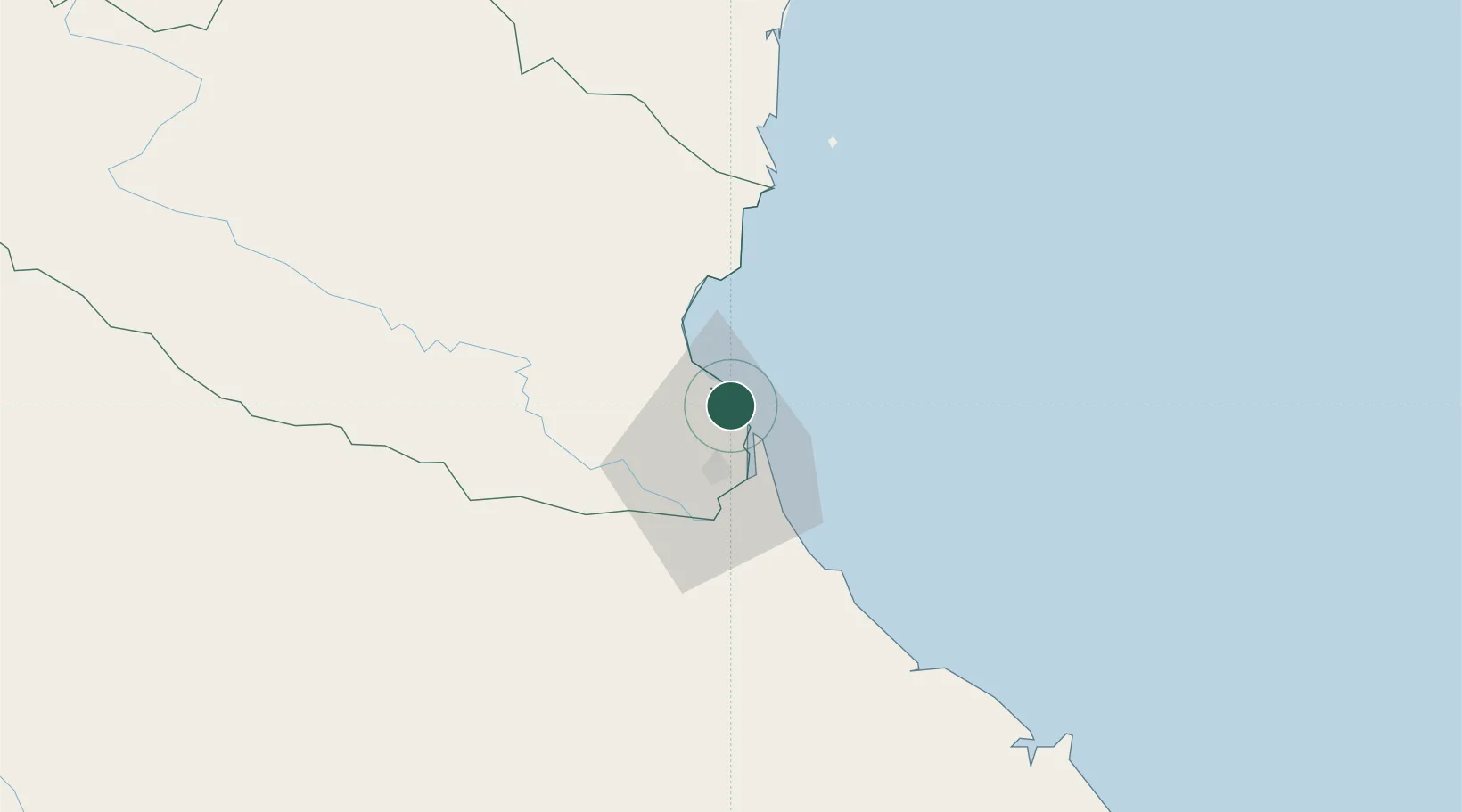
Populated place
Region
Nghệ An Province
Population
11,884
Time zone
Asia/Ho_Chi_Minh
Elevation
8 m
Location
Nearby Logistics Neighbours
Airports
- 1Vinh Airport10 km
- 2Tho Xuan Airport123 km
- 3Dong Hoi Airport172 km
- 4Nakhon Phanom Airport196 km
- 5Cat Bi International Airport246 km
Trade Zones
DatabookThe Record of Consolidated Knowledge
Vietnam beyond logistics?