Diversified Zone · Vietnam

Nghi Son Industrial Zone Active
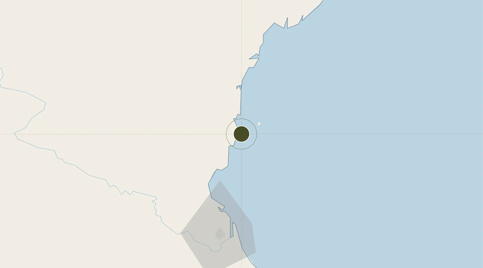
19.3076°, 105.8210°
18,612 ha
Zone area
60.4 km
Nearest port
65.3 km
Nearest airport

Gateway access

Nearest neighbours — logibook spatial index (haversine) over the source coordinates

Zone profile

Zone type
Diversified Zone
Open Zone Map
Region
Thanh Hóa
Open Zone Map
Status
Active
Open Zone Map
Management
Public
Open Zone Map
Operator
Nghi Son Economic Zone Management Board
Open Zone Map
Legal framework
Decree No.82/2018/ND-CP on Management of Industrial Parks and Economic Zones, Decree No 218/2013/ND-CP
Open Zone Map

Location

Location of ozm-5187
Natural Earth 10m (public domain) · Thanh Hóa · ozm-5187 · 19.31, 105.82GoogleOSMYandex

Nearby Logistics Neighbours

Ports
  1. 1Nghe Tinh60 km
  2. 2Hai Phong200 km
  3. 3Hon Gai224 km
  4. 4Cam Pha251 km
  5. 5Basuo295 km
Nearest neighbours — logibook spatial index (haversine) over the source coordinates
Airports
  1. 1Vinh Airport65 km
  2. 2Tho Xuan Airport76 km
  3. 3Cat Bi International Airport193 km
  4. 4Gia Lam Air Base193 km
  5. 5Noi Bai International Airport213 km
Nearest neighbours — logibook spatial index (haversine) over the source coordinates
Cities
  1. 1Nghi Son3 km
  2. 2Kim Dong27 km
  3. 3Cua Lo56 km
  4. 4Culao58 km
  5. 5Vinh66 km
Nearest neighbours — logibook spatial index (haversine) over the source coordinates
Trade Zones
  1. 1Nghi Son Economic Zone6 km
  2. 2Nghi Son Coastal Economic Zone7 km
  3. 3Hoàng Mai Mai Industrial Zone26 km
  4. 4Lễ Môn Industrial Park53 km
  5. 5Nam Cam Industrial Park57 km
Nearest neighbours — logibook spatial index (haversine) over the source coordinates
DatabookThe Record of Consolidated Knowledge
Vietnam beyond logistics?
Browse databook

All Sources

Trade ZonesOpen Zone Map
CC BY
Portsthe NGA World Port Index
Public domain (US gov)
AirportsOurAirports
Public domain
LocationsUN/LOCODE
UN/LOCODE — free
← Vietnam trade zones