Transport Functions
Port
Road
Hub Profile
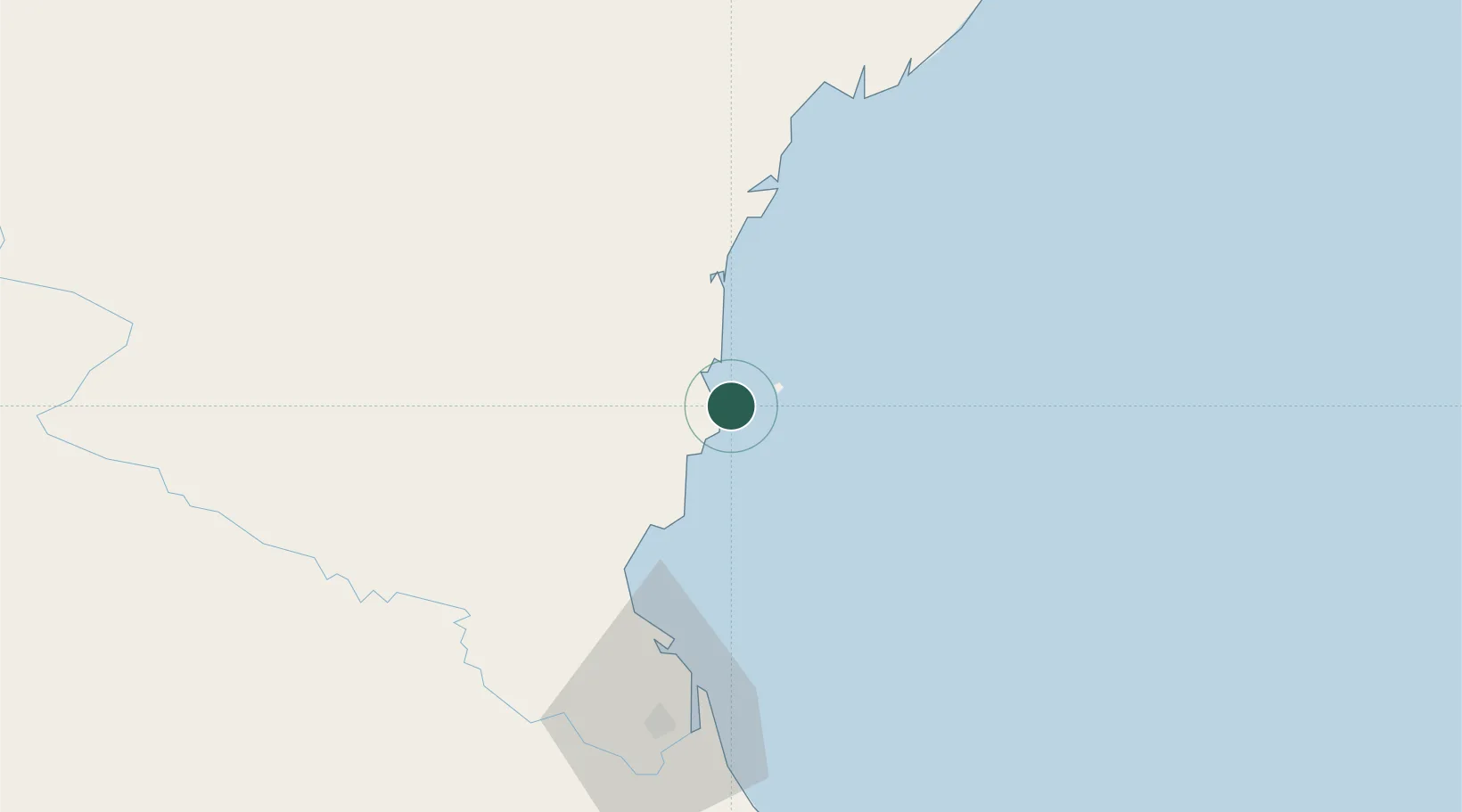
Place type
Populated place
Region
Thanh Hóa Province
Population
302,210
Time zone
Asia/Bangkok
Elevation
74 m
Location
Nearby Logistics Neighbours
Airports
- 1Vinh Airport68 km
- 2Tho Xuan Airport74 km
- 3Cat Bi International Airport189 km
- 4Gia Lam Air Base190 km
- 5Noi Bai International Airport210 km
Trade Zones
DatabookThe Record of Consolidated Knowledge
Vietnam beyond logistics?