Economic Zone · Vietnam

Nghi Son Economic Zone Active
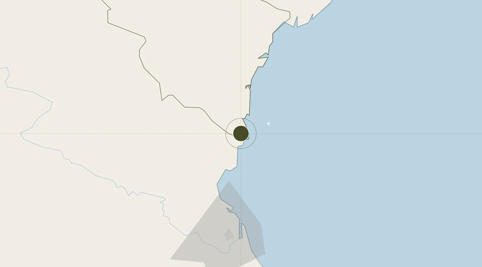
19.3113°, 105.7618°
264 ha
Zone area
60.6 km
Nearest port
64.5 km
Nearest airport

Gateway access

Nearest neighbours — logibook spatial index (haversine) over the source coordinates

Zone profile

Zone type
Economic Zone
the World Bank SEZ database
Region
Thanh Hóa
the World Bank SEZ database
Status
Active
the World Bank SEZ database
Established
2006
the World Bank SEZ database
Management
PPP
the World Bank SEZ database
Operator
Nghi Son Economic Zone Management Board
the World Bank SEZ database
Regulatory authority
Prime Minister
the World Bank SEZ database
Legal framework
Law on Foreign Investment in Vietnam, 1996; Decree No. 36/1997/CP on The Regulation of Industrial, Economic and Export processing zones
the World Bank SEZ database

Location

Location of VNM169
Natural Earth 10m (public domain) · Thanh Hóa · VNM169 · 19.31, 105.76GoogleOSMYandex

Fiscal & incentives

Corporate tax
20%
the World Bank SEZ database
Tax relief
100% exempt
the World Bank SEZ database
Relief duration
4 years
the World Bank SEZ database
VAT
No exemption
the World Bank SEZ database
Import duty (inputs)
0% exempt
the World Bank SEZ database
Import duty (capex)
100% exempt
the World Bank SEZ database
Profit repatriation
No exemption
the World Bank SEZ database
Capital gains
No exemption
the World Bank SEZ database
Withholding tax
No exemption
the World Bank SEZ database
Min. investment
None
the World Bank SEZ database
Min. export
0%
the World Bank SEZ database
Employment incentive
No exemption
the World Bank SEZ database
Developer incentive
No established framework
the World Bank SEZ database

Nearby Logistics Neighbours

Ports
  1. 1Nghe Tinh61 km
  2. 2Hai Phong203 km
  3. 3Hon Gai228 km
  4. 4Cam Pha254 km
  5. 5Basuo301 km
Nearest neighbours — logibook spatial index (haversine) over the source coordinates
Airports
  1. 1Vinh Airport65 km
  2. 2Tho Xuan Airport73 km
  3. 3Gia Lam Air Base193 km
  4. 4Cat Bi International Airport195 km
  5. 5Noi Bai International Airport212 km
Nearest neighbours — logibook spatial index (haversine) over the source coordinates
Cities
  1. 1Nghi Son8 km
  2. 2Kim Dong22 km
  3. 3Cua Lo55 km
  4. 4Culao57 km
  5. 5Vinh65 km
Nearest neighbours — logibook spatial index (haversine) over the source coordinates
Trade Zones
  1. 1Nghi Son Coastal Economic Zone5 km
  2. 2Nghi Son Industrial Zone6 km
  3. 3Hoàng Mai Mai Industrial Zone20 km
  4. 4Lễ Môn Industrial Park53 km
  5. 5Nam Cam Industrial Park56 km
Nearest neighbours — logibook spatial index (haversine) over the source coordinates
DatabookThe Record of Consolidated Knowledge
Vietnam beyond logistics?
Browse databook

All Sources

Trade Zonesthe World Bank SEZ database
CC BY 4.0
Portsthe NGA World Port Index
Public domain (US gov)
AirportsOurAirports
Public domain
LocationsUN/LOCODE
UN/LOCODE — free
← Vietnam trade zones