Transport Functions
Multimodal
Hub Profile
Region
21
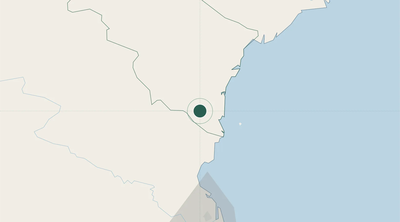
Location
Nearby Logistics Neighbours
Airports
- 1Tho Xuan Airport51 km
- 2Vinh Airport81 km
- 3Gia Lam Air Base177 km
- 4Cat Bi International Airport189 km
- 5Sam Neua Airport195 km
Trade Zones
DatabookThe Record of Consolidated Knowledge
Vietnam beyond logistics?