Export Processing Zone · Vietnam

Thuan Thanh Industrial Estate Under Development
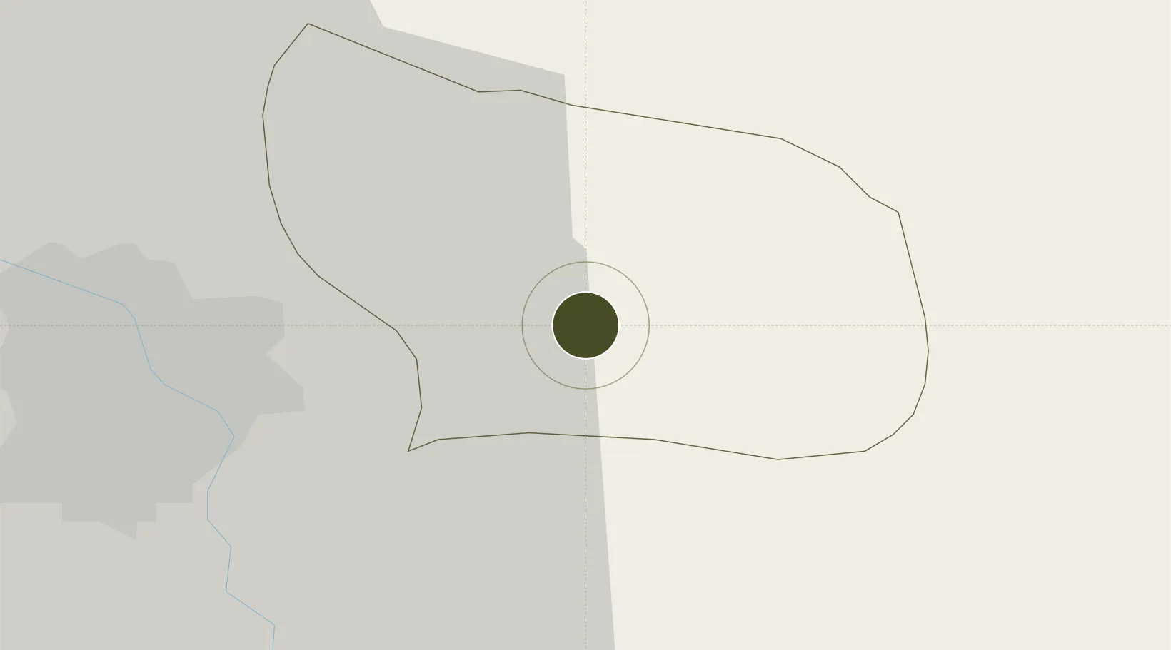
21.0663°, 106.1111°
250 ha
Zone area
61.7 km
Nearest port
23.5 km
Nearest airport

Gateway access

Nearest neighbours — logibook spatial index (haversine) over the source coordinates

Zone profile

Zone type
Export Processing Zone
Open Zone Map
Region
Bắc Ninh
Open Zone Map
Status
Under Development
Open Zone Map
Management
Public-Private Partnership
Open Zone Map
Operator
Viglacera Corporation JSC
Open Zone Map
Legal framework
Decree No.82/2018/ND-CP on Management of Industrial Parks and Economic Zones, Decree No 218/2013/ND-CP
Open Zone Map

Location

Location of ozm-5164
Natural Earth 10m (public domain) · Bắc Ninh · ozm-5164 · 21.07, 106.11GoogleOSMYandex

Nearby Logistics Neighbours

Ports
  1. 1Hai Phong62 km
  2. 2Hon Gai100 km
  3. 3Cam Pha130 km
  4. 4Fang-Cheng244 km
  5. 5Nghe Tinh258 km
Nearest neighbours — logibook spatial index (haversine) over the source coordinates
Airports
  1. 1Gia Lam Air Base24 km
  2. 2Noi Bai International Airport36 km
  3. 3Cat Bi International Airport69 km
  4. 4Van Don International Airport135 km
  5. 5Tho Xuan Airport146 km
Nearest neighbours — logibook spatial index (haversine) over the source coordinates
Cities
  1. 1Luong Tai11 km
  2. 2Hanoi14 km
  3. 3Gia Lam39 km
  4. 4Hoa Mac50 km
  5. 5Vat Cach55 km
Nearest neighbours — logibook spatial index (haversine) over the source coordinates
Trade Zones
  1. 1Thuan Thanh 2 Industrial Zone1 km
  2. 2Gia Bình 1 Industrial Park6 km
  3. 3Thuan Thanh 3 Industrial Zone6 km
  4. 4Que Vo 1 Expansion Industrial Zone9 km
  5. 5Nam Son-Hap Linh Industrial Estate9 km
Nearest neighbours — logibook spatial index (haversine) over the source coordinates
DatabookThe Record of Consolidated Knowledge
Vietnam beyond logistics?
Browse databook

All Sources

Trade ZonesOpen Zone Map
CC BY
Portsthe NGA World Port Index
Public domain (US gov)
AirportsOurAirports
Public domain
LocationsUN/LOCODE
UN/LOCODE — free
← Vietnam trade zones