Diversified Zone · Vietnam

Song Khe - Noi Hoang Expansion Industrial Zone Active
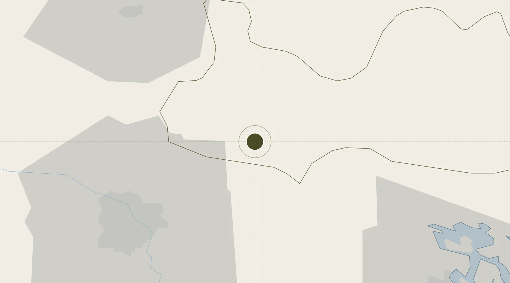
21.2471°, 106.1773°
222 ha
Zone area
64.1 km
Nearest port
38.0 km
Nearest airport

Gateway access

Nearest neighbours — logibook spatial index (haversine) over the source coordinates

Zone profile

Zone type
Diversified Zone
Open Zone Map
Region
Bắc Giang
Open Zone Map
Status
Active
Open Zone Map
Management
Public
Open Zone Map
Operator
The Office of Bacgiang Provincial People's Committee
Open Zone Map
Legal framework
Decree No.82/2018/ND-CP on Management of Industrial Parks and Economic Zones, Decree No 218/2013/ND-CP
Open Zone Map

Location

Location of ozm-5095
Natural Earth 10m (public domain) · Bắc Giang · ozm-5095 · 21.25, 106.18GoogleOSMYandex

Nearby Logistics Neighbours

Ports
  1. 1Hai Phong64 km
  2. 2Hon Gai98 km
  3. 3Cam Pha126 km
  4. 4Fang-Cheng232 km
  5. 5Qinzhou255 km
Nearest neighbours — logibook spatial index (haversine) over the source coordinates
Airports
  1. 1Gia Lam Air Base38 km
  2. 2Noi Bai International Airport39 km
  3. 3Cat Bi International Airport74 km
  4. 4Van Don International Airport129 km
  5. 5Baihe Ningming Air Base138 km
Nearest neighbours — logibook spatial index (haversine) over the source coordinates
Cities
  1. 1Hanoi23 km
  2. 2Luong Tai32 km
  3. 3Gia Lam38 km
  4. 4Thái Nguyên47 km
  5. 5Vat Cach60 km
Nearest neighbours — logibook spatial index (haversine) over the source coordinates
Trade Zones
  1. 1Van Trung Industrial Zone4 km
  2. 2Dinh Tram Industrial Zone5 km
  3. 3Quang Chau Industrial Zone8 km
  4. 4Que Vo I Industrial Zone12 km
  5. 5Nam Son-Hap Linh Industrial Estate13 km
Nearest neighbours — logibook spatial index (haversine) over the source coordinates
DatabookThe Record of Consolidated Knowledge
Vietnam beyond logistics?
Browse databook

All Sources

Trade ZonesOpen Zone Map
CC BY
Portsthe NGA World Port Index
Public domain (US gov)
AirportsOurAirports
Public domain
LocationsUN/LOCODE
UN/LOCODE — free
← Vietnam trade zones