Industrial Zone · Vietnam

Dinh Tram Industrial Zone Active
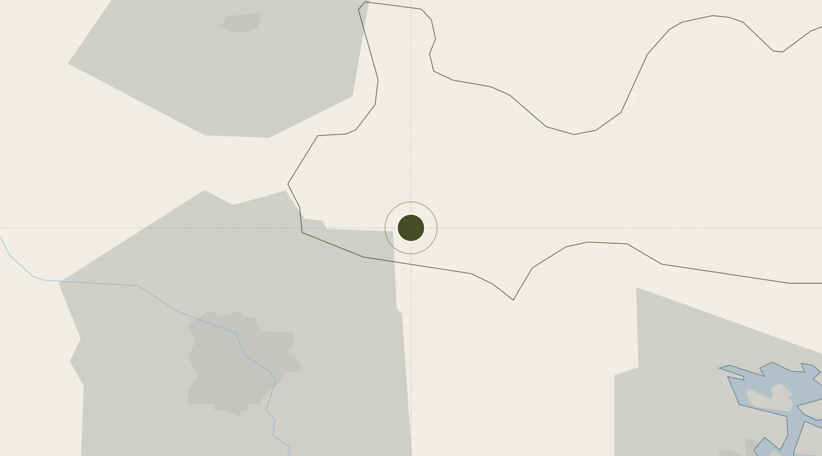
21.2547°, 106.1269°
127 ha
Zone area
68.9 km
Nearest port
33.4 km
Nearest airport

Gateway access

Nearest neighbours — logibook spatial index (haversine) over the source coordinates

Zone profile

Zone type
Industrial Zone
the World Bank SEZ database
Region
Bắc Giang
the World Bank SEZ database
Status
Active
the World Bank SEZ database
Established
2003
the World Bank SEZ database
Management
Public agency
the World Bank SEZ database
Operator
Bac Giang Industrial Zones Authority
the World Bank SEZ database
Regulatory authority
Chairmen of Provincial People's Committees
the World Bank SEZ database
Legal framework
Law on Foreign Investment in Vietnam, 1996; Decree No. 36/1997/CP on The Regulation of Industrial, Economic and Export processing zones
the World Bank SEZ database

Location

Location of VNM129
Natural Earth 10m (public domain) · Bắc Giang · VNM129 · 21.25, 106.13GoogleOSMYandex

Fiscal & incentives

Corporate tax
20%
the World Bank SEZ database
Tax relief
100% exempt
the World Bank SEZ database
Relief duration
4 years
the World Bank SEZ database
VAT
No exemption
the World Bank SEZ database
Import duty (inputs)
0% exempt
the World Bank SEZ database
Import duty (capex)
100% exempt
the World Bank SEZ database
Profit repatriation
No exemption
the World Bank SEZ database
Capital gains
No exemption
the World Bank SEZ database
Withholding tax
No exemption
the World Bank SEZ database
Min. investment
None
the World Bank SEZ database
Min. export
0%
the World Bank SEZ database
Employment incentive
No exemption
the World Bank SEZ database
Developer incentive
No established framework
the World Bank SEZ database

Nearby Logistics Neighbours

Ports
  1. 1Hai Phong69 km
  2. 2Hon Gai103 km
  3. 3Cam Pha131 km
  4. 4Fang-Cheng237 km
  5. 5Qinzhou260 km
Nearest neighbours — logibook spatial index (haversine) over the source coordinates
Airports
  1. 1Noi Bai International Airport33 km
  2. 2Gia Lam Air Base35 km
  3. 3Cat Bi International Airport79 km
  4. 4Van Don International Airport134 km
  5. 5Baihe Ningming Air Base141 km
Nearest neighbours — logibook spatial index (haversine) over the source coordinates
Cities
  1. 1Hanoi20 km
  2. 2Luong Tai32 km
  3. 3Gia Lam43 km
  4. 4Thái Nguyên43 km
  5. 5Vat Cach64 km
Nearest neighbours — logibook spatial index (haversine) over the source coordinates
Trade Zones
  1. 1Van Trung Industrial Zone2 km
  2. 2Quang Chau Industrial Zone4 km
  3. 3Song Khe - Noi Hoang Expansion Industrial Zone5 km
  4. 4Que Vo I Industrial Zone11 km
  5. 5Nam Son-Hap Linh Industrial Estate13 km
Nearest neighbours — logibook spatial index (haversine) over the source coordinates
DatabookThe Record of Consolidated Knowledge
Vietnam beyond logistics?
Browse databook

All Sources

Trade Zonesthe World Bank SEZ database
CC BY 4.0
Portsthe NGA World Port Index
Public domain (US gov)
AirportsOurAirports
Public domain
LocationsUN/LOCODE
UN/LOCODE — free
← Vietnam trade zones