Diversified Zone · Vietnam

Quyet Thang Industrial Zone Active
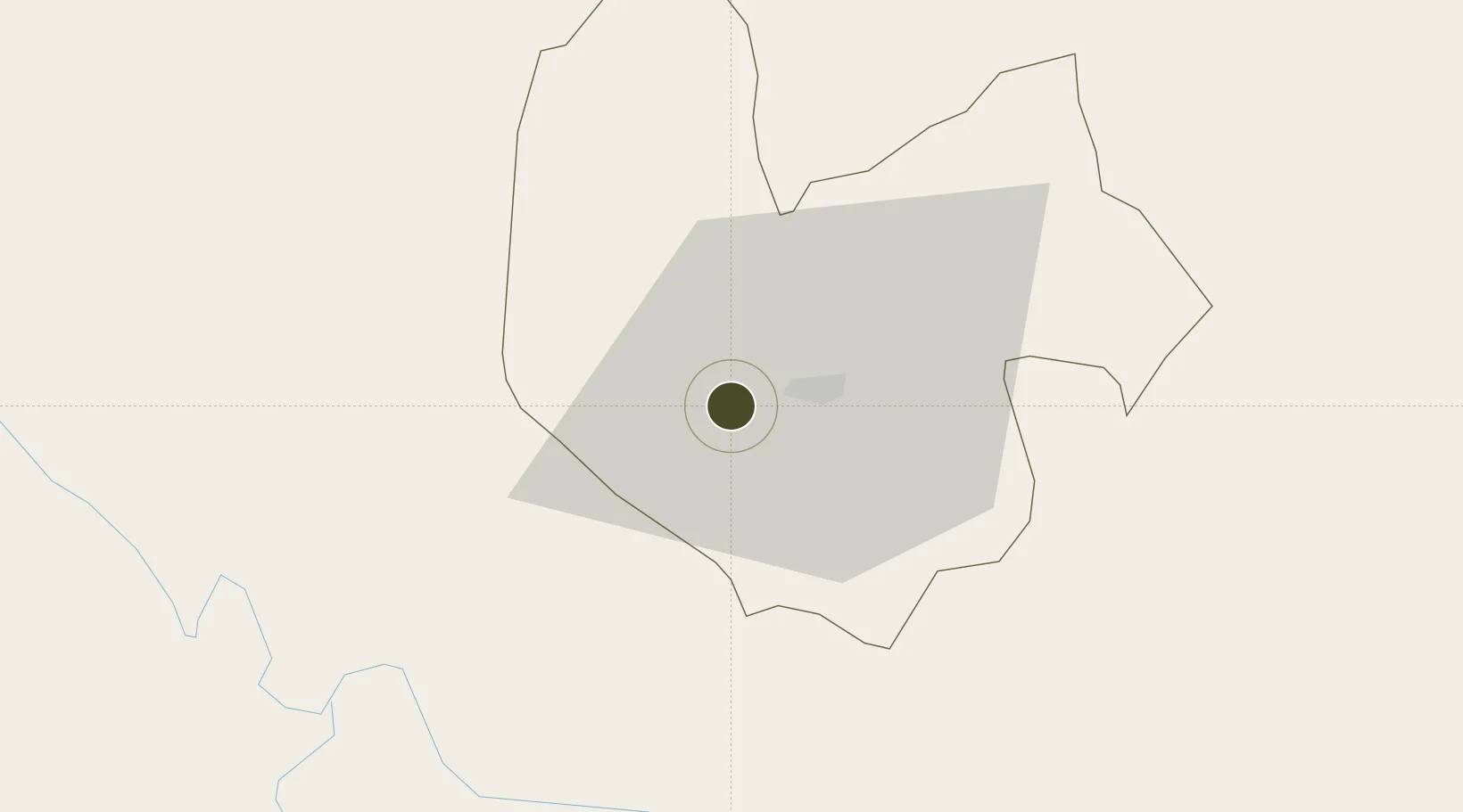
21.5808°, 105.7561°
200 ha
Zone area
121.2 km
Nearest port
40.3 km
Nearest airport

Gateway access

Nearest neighbours — logibook spatial index (haversine) over the source coordinates

Zone profile

Zone type
Diversified Zone
Open Zone Map
Region
Thái Nguyên
Open Zone Map
Status
Active
Open Zone Map
Management
Public-Private Partnership
Open Zone Map
Operator
Hoan Viet Trading and Investment Joint Stock Company
Open Zone Map
Legal framework
Decree No.82/2018/ND-CP on Management of Industrial Parks and Economic Zones, Decree No 218/2013/ND-CP
Open Zone Map

Location

Location of ozm-5092
Natural Earth 10m (public domain) · Thái Nguyên · ozm-5092 · 21.58, 105.76GoogleOSMYandex

Nearby Logistics Neighbours

Ports
  1. 1Hai Phong121 km
  2. 2Hon Gai153 km
  3. 3Cam Pha178 km
  4. 4Fang-Cheng269 km
  5. 5Qinzhou293 km
Nearest neighbours — logibook spatial index (haversine) over the source coordinates
Airports
  1. 1Noi Bai International Airport40 km
  2. 2Gia Lam Air Base62 km
  3. 3Cat Bi International Airport132 km
  4. 4Baihe Ningming Air Base154 km
  5. 5Van Don International Airport179 km
Nearest neighbours — logibook spatial index (haversine) over the source coordinates
Cities
  1. 1Thái Nguyên12 km
  2. 2Hoa Lac47 km
  3. 3Hanoi56 km
  4. 4Luong Tai79 km
  5. 5Gia Lam95 km
Nearest neighbours — logibook spatial index (haversine) over the source coordinates
Trade Zones
  1. 1Song Cong I Industrial Zone16 km
  2. 2Điềm Thụy Industrial Zone B19 km
  3. 3Ba Thien Industrial Estate30 km
  4. 4Khai Quang Industrial Zone34 km
  5. 5Binh Xuyen Industrial Zone35 km
Nearest neighbours — logibook spatial index (haversine) over the source coordinates
DatabookThe Record of Consolidated Knowledge
Vietnam beyond logistics?
Browse databook

All Sources

Trade ZonesOpen Zone Map
CC BY
Portsthe NGA World Port Index
Public domain (US gov)
AirportsOurAirports
Public domain
LocationsUN/LOCODE
UN/LOCODE — free
← Vietnam trade zones