Diversified Zone · Vietnam

Điềm Thụy Industrial Zone B Active
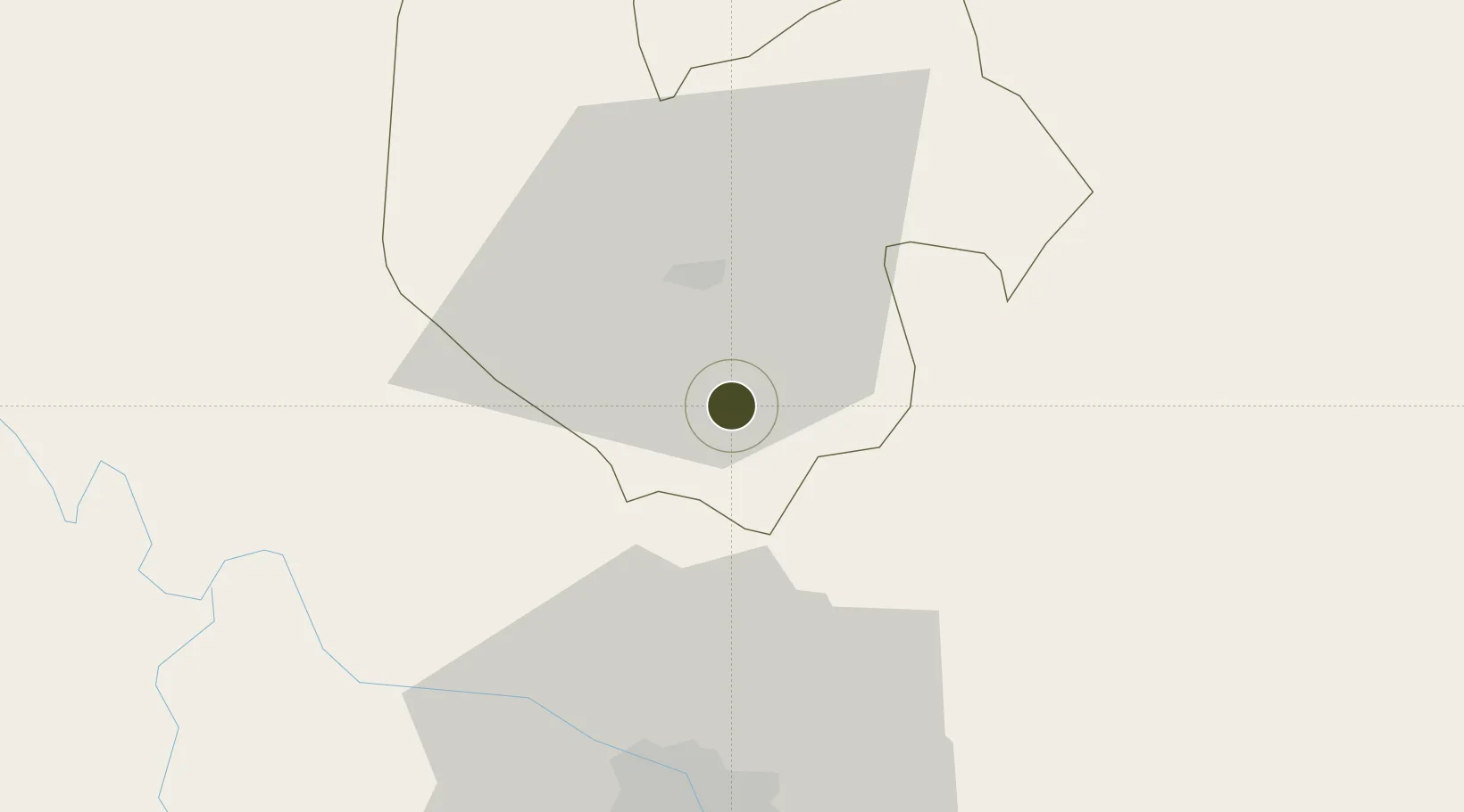
21.4621°, 105.8811°
170 ha
Zone area
102.9 km
Nearest port
27.9 km
Nearest airport

Gateway access

Nearest neighbours — logibook spatial index (haversine) over the source coordinates

Zone profile

Zone type
Diversified Zone
Open Zone Map
Region
Thái Nguyên
Open Zone Map
Status
Active
Open Zone Map
Management
Public-Private Partnership
Open Zone Map
Operator
Thai Nguyen Industrial Zones Authority & APEC Thai Nguyen Investment Joint Stock Company
Open Zone Map
Legal framework
Decree No.82/2018/ND-CP on Management of Industrial Parks and Economic Zones, Decree No 218/2013/ND-CP
Open Zone Map

Location

Location of ozm-5037
Natural Earth 10m (public domain) · Thái Nguyên · ozm-5037 · 21.46, 105.88GoogleOSMYandex

Nearby Logistics Neighbours

Ports
  1. 1Hai Phong103 km
  2. 2Hon Gai136 km
  3. 3Cam Pha161 km
  4. 4Fang-Cheng257 km
  5. 5Qinzhou281 km
Nearest neighbours — logibook spatial index (haversine) over the source coordinates
Airports
  1. 1Noi Bai International Airport28 km
  2. 2Gia Lam Air Base47 km
  3. 3Cat Bi International Airport113 km
  4. 4Baihe Ningming Air Base148 km
  5. 5Van Don International Airport163 km
Nearest neighbours — logibook spatial index (haversine) over the source coordinates
Cities
  1. 1Thái Nguyên10 km
  2. 2Hanoi39 km
  3. 3Hoa Lac49 km
  4. 4Luong Tai61 km
  5. 5Gia Lam76 km
Nearest neighbours — logibook spatial index (haversine) over the source coordinates
Trade Zones
  1. 1Song Cong I Industrial Zone3 km
  2. 2Quyet Thang Industrial Zone19 km
  3. 3Ba Thien Industrial Estate25 km
  4. 4Noi Bai Industrial Park27 km
  5. 5Yen Phong Ii Industrial Estate30 km
Nearest neighbours — logibook spatial index (haversine) over the source coordinates
DatabookThe Record of Consolidated Knowledge
Vietnam beyond logistics?
Browse databook

All Sources

Trade ZonesOpen Zone Map
CC BY
Portsthe NGA World Port Index
Public domain (US gov)
AirportsOurAirports
Public domain
LocationsUN/LOCODE
UN/LOCODE — free
← Vietnam trade zones