Export Processing Zone · Vietnam

Ba Thien Industrial Estate Active
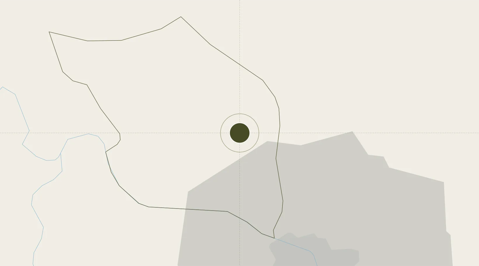
21.3136°, 105.6944°
321 ha
Zone area
111.7 km
Nearest port
15.6 km
Nearest airport

Gateway access

Nearest neighbours — logibook spatial index (haversine) over the source coordinates

Zone profile

Zone type
Export Processing Zone
Open Zone Map
Region
Vĩnh Phúc
Open Zone Map
Status
Active
Open Zone Map
Management
Public-Private Partnership
Open Zone Map
Operator
Compal Infrastructure Development And Management Co.,Ltd
Open Zone Map
Legal framework
Decree No.82/2018/ND-CP on Management of Industrial Parks and Economic Zones, Decree No 218/2013/ND-CP
Open Zone Map

Location

Location of ozm-5124
Natural Earth 10m (public domain) · Vĩnh Phúc · ozm-5124 · 21.31, 105.69GoogleOSMYandex

Nearby Logistics Neighbours

Ports
  1. 1Hai Phong112 km
  2. 2Hon Gai148 km
  3. 3Cam Pha176 km
  4. 4Fang-Cheng279 km
  5. 5Nghe Tinh283 km
Nearest neighbours — logibook spatial index (haversine) over the source coordinates
Airports
  1. 1Noi Bai International Airport16 km
  2. 2Gia Lam Air Base36 km
  3. 3Cat Bi International Airport120 km
  4. 4Tho Xuan Airport159 km
  5. 5Baihe Ningming Air Base173 km
Nearest neighbours — logibook spatial index (haversine) over the source coordinates
Cities
  1. 1Hoa Lac25 km
  2. 2Thái Nguyên32 km
  3. 3Hanoi37 km
  4. 4Luong Tai60 km
  5. 5Hoa Mac82 km
Nearest neighbours — logibook spatial index (haversine) over the source coordinates
Trade Zones
  1. 1Binh Xuyen Industrial Zone6 km
  2. 2Bình Xuyên Industrial Estate6 km
  3. 3Khai Quang Industrial Zone7 km
  4. 4Kim Hoa Industrial Zone9 km
  5. 5Noi Bai Industrial Park16 km
Nearest neighbours — logibook spatial index (haversine) over the source coordinates
DatabookThe Record of Consolidated Knowledge
Vietnam beyond logistics?
Browse databook

All Sources

Trade ZonesOpen Zone Map
CC BY
Portsthe NGA World Port Index
Public domain (US gov)
AirportsOurAirports
Public domain
LocationsUN/LOCODE
UN/LOCODE — free
← Vietnam trade zones