Transport Functions
Multimodal
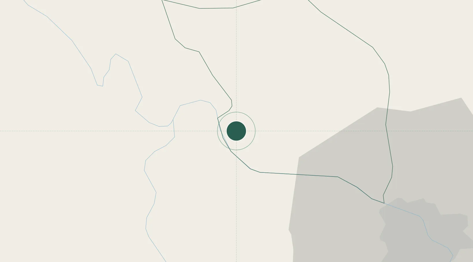
Hub Profile
Place type
Populated place
Region
Phu Tho
Time zone
Asia/Bangkok
Elevation
10 m
Location
Nearby Logistics Neighbours
Cities
- 1Thái Nguyên53 km
- 2Hanoi56 km
- 3Luong Tai76 km
- 4Hoa Mac88 km
- 5Phu Lý92 km
Ports
- 1Hai Phong132 km
- 2Hon Gai169 km
- 3Cam Pha199 km
- 4Nghe Tinh278 km
- 5Fang-Cheng303 km
Airports
- 1Noi Bai International Airport35 km
- 2Gia Lam Air Base49 km
- 3Cat Bi International Airport139 km
- 4Tho Xuan Airport150 km
- 5Sam Neua Airport172 km
Trade Zones
DatabookThe Record of Consolidated Knowledge
Vietnam beyond logistics?