Industrial Zone · Vietnam

My Phuoc Industrial Zone Active
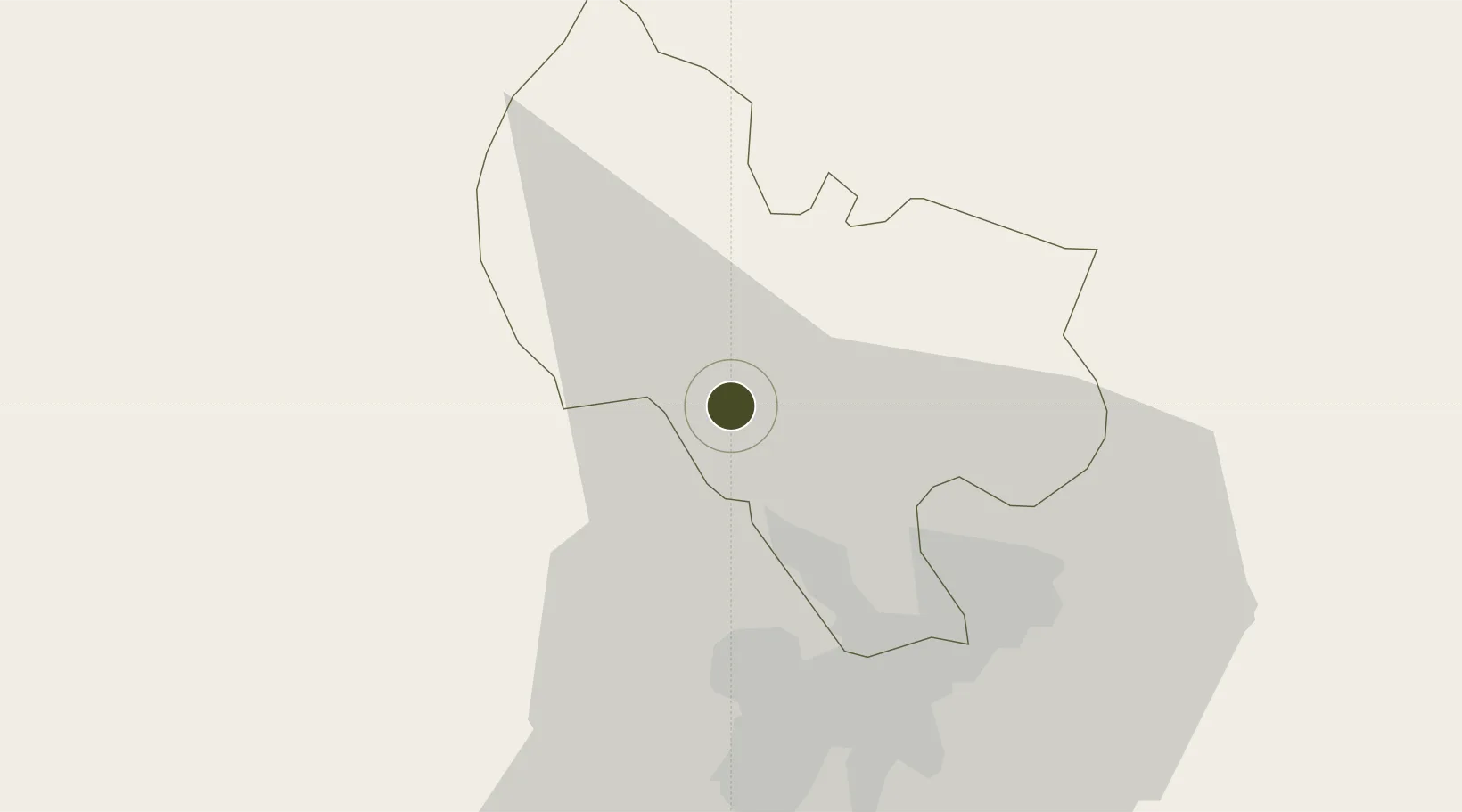
11.1270°, 106.5980°
202 ha
Zone area
39.1 km
Nearest port
34.8 km
Nearest airport

Gateway access

Nearest neighbours — logibook spatial index (haversine) over the source coordinates

Zone profile

Zone type
Industrial Zone
the World Bank SEZ database
Region
Bình Dương
the World Bank SEZ database
Status
Active
the World Bank SEZ database
Established
2002
the World Bank SEZ database
Management
State-owned enterprise
the World Bank SEZ database
Operator
Becamex IDC Corporation
the World Bank SEZ database
Regulatory authority
Chairmen of Provincial People's Committees
the World Bank SEZ database
Legal framework
Law on Foreign Investment in Vietnam, 1996; Decree No. 36/1997/CP on The Regulation of Industrial, Economic and Export processing zones
the World Bank SEZ database

Location

Location of VNM414
Natural Earth 10m (public domain) · Bình Dương · VNM414 · 11.13, 106.60GoogleOSMYandex

Fiscal & incentives

Corporate tax
20%
the World Bank SEZ database
Tax relief
100% exempt
the World Bank SEZ database
Relief duration
4 years
the World Bank SEZ database
VAT
No exemption
the World Bank SEZ database
Import duty (inputs)
0% exempt
the World Bank SEZ database
Import duty (capex)
100% exempt
the World Bank SEZ database
Profit repatriation
No exemption
the World Bank SEZ database
Capital gains
No exemption
the World Bank SEZ database
Withholding tax
No exemption
the World Bank SEZ database
Min. investment
None
the World Bank SEZ database
Min. export
0%
the World Bank SEZ database
Employment incentive
No exemption
the World Bank SEZ database
Developer incentive
No established framework
the World Bank SEZ database

Nearby Logistics Neighbours

Ports
  1. 1Thanh Hoa39 km
  2. 2Thanh Ho Chi Minh42 km
  3. 3Cat Lai47 km
  4. 4Phu My77 km
  5. 5Vung Tau104 km
Nearest neighbours — logibook spatial index (haversine) over the source coordinates
Airports
  1. 1Tan Son Nhat International Airport35 km
  2. 2Long Thanh International Airport (Under Construction)62 km
  3. 3Can Tho International Airport151 km
  4. 4Techo International Airport185 km
  5. 5Phnom Penh International Airport197 km
Nearest neighbours — logibook spatial index (haversine) over the source coordinates
Cities
  1. 1Phu Giáo18 km
  2. 2Thu Dau Mot19 km
  3. 3Thanh Phuoc Port23 km
  4. 4Tân Uyên23 km
  5. 5Binh Duong28 km
Nearest neighbours — logibook spatial index (haversine) over the source coordinates
Trade Zones
  1. 1Viet Huong 2 Industrial Zone6 km
  2. 2Vsip Ii Industrial Zone10 km
  3. 3Kim Huy Industrial Zone15 km
  4. 4Dai Dang Industrial Zone16 km
  5. 5Man Tan Uyen Industrial Park19 km
Nearest neighbours — logibook spatial index (haversine) over the source coordinates
DatabookThe Record of Consolidated Knowledge
Vietnam beyond logistics?
Browse databook

All Sources

Trade Zonesthe World Bank SEZ database
CC BY 4.0
Portsthe NGA World Port Index
Public domain (US gov)
AirportsOurAirports
Public domain
LocationsUN/LOCODE
UN/LOCODE — free
← Vietnam trade zones