Large airport · Cambodia

Phnom Penh International AirportVDPP
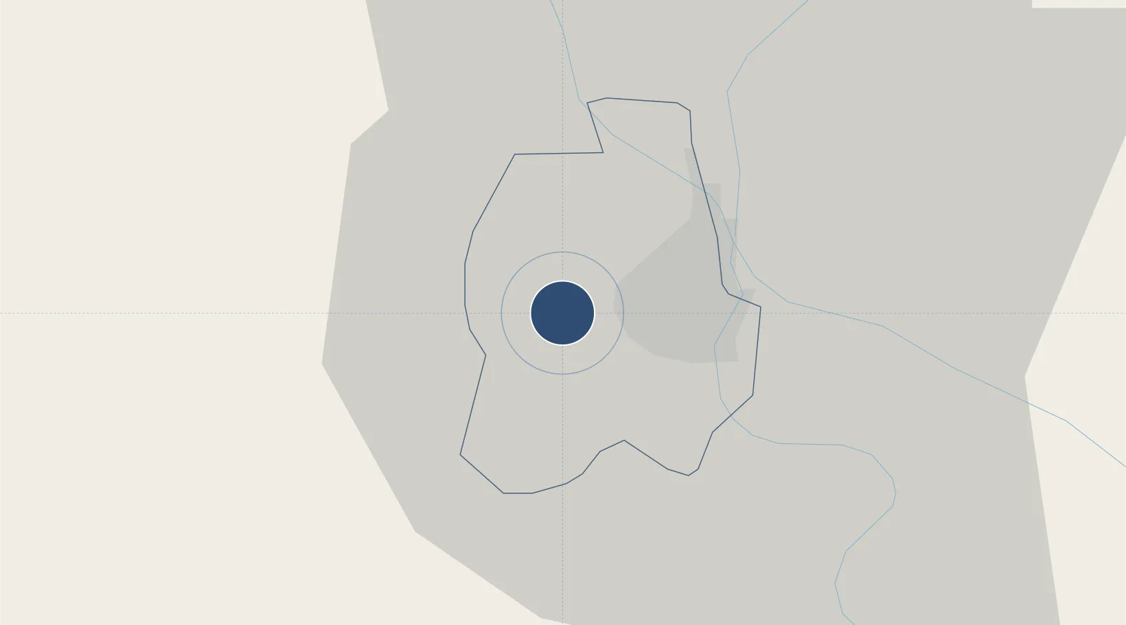
11.5472°, 104.8447°
9,843 ft
Longest runway
1
Runways
40 ft
Elevation

Runway & Layout

Phnom Penh International Airport runway & taxiway layout
Runway & taxiway layout — OpenStreetMap (ODbL) / OurAirports

Radio Frequencies

ATIS
127.25 MHz
TWR
118 MHz
APP
123.8 MHz
ACC
127.5 MHz
OurAirports

Navaids

PNH VOR-DME Phnom Penh 114.30 MHz
PNP NDB Phnom Penh 376 kHz
OurAirports

Runways · 1

RunwayDimensions SurfaceTrue headingLit
05/23 9,843 × 144ft Asphalt 046°
OurAirports

Airport Specifications

IATA code
PNH
OurAirports
ICAO code
VDPP
OurAirports
Airport class
Large airport
OurAirports
Scheduled service
No
OurAirports
Runway surface
Asphalt
OurAirports
Served city
Phnom Penh (Pou Senchey)
OurAirports

Location

Location of VDPP
Natural Earth 10m (public domain) · Phnom Penh · VDPP · 11.55, 104.84GoogleOSMYandex

Nearby Logistics Neighbours

Airports
  1. 1Techo International Airport22 km
  2. 2Sihanouk International Airport171 km
  3. 3Phú Quốc International Airport179 km
  4. 4Rach Gia Airport180 km
  5. 5Can Tho International Airport188 km
Nearest neighbours — logibook spatial index (haversine) over the source coordinates
Cities
  1. 1Phnom Penh2 km
  2. 2Ta Khmau14 km
  3. 3Kâmpóng Cham83 km
  4. 4Binh Long Port118 km
  5. 5Tay Ninh140 km
Nearest neighbours — logibook spatial index (haversine) over the source coordinates
Ports
  1. 1Duong Dong176 km
  2. 2Kampong Saom179 km
  3. 3Thanh Ho Chi Minh222 km
  4. 4Thanh Hoa225 km
  5. 5Cat Lai229 km
Nearest neighbours — logibook spatial index (haversine) over the source coordinates
Trade Zones
  1. 1Kampong Saom Special Economic Zone3 km
  2. 2Hkt Special Economic Zone7 km
  3. 3N.L.C Special Economic Zone9 km
  4. 4Phnom Penh Special Economic Zone9 km
  5. 5Kerry Worldbridge Special Economic Zone14 km
Nearest neighbours — logibook spatial index (haversine) over the source coordinates
DatabookThe Record of Consolidated Knowledge
Cambodia beyond logistics?
Browse databook

All Sources

AirportsOurAirports
Public domain
Portsthe NGA World Port Index
Public domain (US gov)
LocationsUN/LOCODE
UN/LOCODE — free
Trade Zonesthe World Bank SEZ database
CC BY 4.0
Trade ZonesOpen Zone Map
CC BY
InfrastructureOpenStreetMap
ODbL 1.0
← Cambodia airports