Diversified Zone · Vietnam

Mai Son Industrial Zone Active
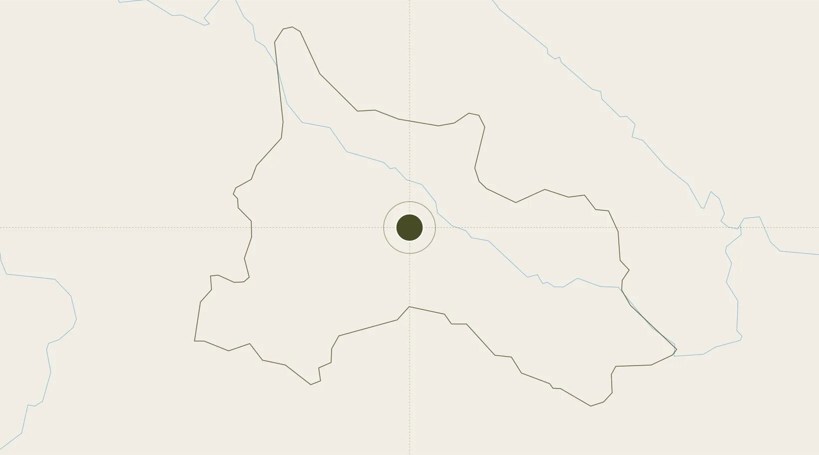
21.2653°, 104.0587°
150 ha
Zone area
275.0 km
Nearest port
94.2 km
Nearest airport

Gateway access

Nearest neighbours — logibook spatial index (haversine) over the source coordinates

Zone profile

Zone type
Diversified Zone
Open Zone Map
Region
Son La
Open Zone Map
Status
Active
Open Zone Map
Management
Public
Open Zone Map
Operator
Son La Province Management Board of Industrial Park
Open Zone Map
Legal framework
Decree No.82/2018/ND-CP on Management of Industrial Parks and Economic Zones, Decree No 218/2013/ND-CP
Open Zone Map

Location

Location of ozm-5065
Natural Earth 10m (public domain) · Son La · ozm-5065 · 21.27, 104.06GoogleOSMYandex

Nearby Logistics Neighbours

Ports
  1. 1Hai Phong275 km
  2. 2Hon Gai314 km
  3. 3Nghe Tinh330 km
  4. 4Cam Pha344 km
  5. 5Fang-Cheng447 km
Nearest neighbours — logibook spatial index (haversine) over the source coordinates
Airports
  1. 1Sam Neua Airport94 km
  2. 2Dien Bien Phu Airport110 km
  3. 3Noi Bai International Airport181 km
  4. 4Gia Lam Air Base191 km
  5. 5Tho Xuan Airport211 km
Nearest neighbours — logibook spatial index (haversine) over the source coordinates
Cities
  1. 1B12 Oil Terminal110 km
  2. 2Hekou139 km
  3. 3Hoa Lac146 km
  4. 4Dulong175 km
  5. 5Thái Nguyên190 km
Nearest neighbours — logibook spatial index (haversine) over the source coordinates
Trade Zones
  1. 1Trung Ha Industrial Zone132 km
  2. 2Thuy Van Industrial Zone132 km
  3. 3Lao Cai Border Gate Economic Zone136 km
  4. 4Left Bank Of Da River Industrial Zone140 km
  5. 5Mong Hoa Industrial Zone142 km
Nearest neighbours — logibook spatial index (haversine) over the source coordinates
DatabookThe Record of Consolidated Knowledge
Vietnam beyond logistics?
Browse databook

All Sources

Trade ZonesOpen Zone Map
CC BY
Portsthe NGA World Port Index
Public domain (US gov)
AirportsOurAirports
Public domain
LocationsUN/LOCODE
UN/LOCODE — free
← Vietnam trade zones