Diversified Zone · Vietnam

Mong Hoa Industrial Zone Active
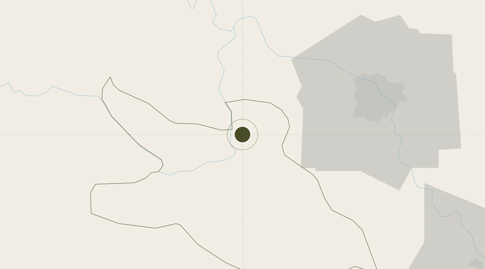
20.9009°, 105.3689°
200 ha
Zone area
136.5 km
Nearest port
55.9 km
Nearest airport

Gateway access

Nearest neighbours — logibook spatial index (haversine) over the source coordinates

Zone profile

Zone type
Diversified Zone
Open Zone Map
Region
Hòa Bình
Open Zone Map
Status
Active
Open Zone Map
Management
Public
Open Zone Map
Operator
Hoa Binh Management Board of Industrial Park
Open Zone Map
Legal framework
Decree No.82/2018/ND-CP on Management of Industrial Parks and Economic Zones, Decree No 218/2013/ND-CP
Open Zone Map

Location

Location of ozm-5068
Natural Earth 10m (public domain) · Hòa Bình · ozm-5068 · 20.90, 105.37GoogleOSMYandex

Nearby Logistics Neighbours

Ports
  1. 1Hai Phong137 km
  2. 2Hon Gai176 km
  3. 3Cam Pha208 km
  4. 4Nghe Tinh241 km
  5. 5Fang-Cheng323 km
Nearest neighbours — logibook spatial index (haversine) over the source coordinates
Airports
  1. 1Gia Lam Air Base56 km
  2. 2Noi Bai International Airport58 km
  3. 3Tho Xuan Airport112 km
  4. 4Cat Bi International Airport141 km
  5. 5Sam Neua Airport146 km
Nearest neighbours — logibook spatial index (haversine) over the source coordinates
Cities
  1. 1Hoa Lac40 km
  2. 2Phu Lý69 km
  3. 3Hanoi69 km
  4. 4Hoa Mac72 km
  5. 5Luong Tai80 km
Nearest neighbours — logibook spatial index (haversine) over the source coordinates
Trade Zones
  1. 1Left Bank Of Da River Industrial Zone10 km
  2. 2Luong Son Industrial Zone18 km
  3. 3Nhuan Trach Industrial Zone19 km
  4. 4Hoa Lac Hi-Tech Park22 km
  5. 5Thach That-Quoc Oai Industrial Estate26 km
Nearest neighbours — logibook spatial index (haversine) over the source coordinates
DatabookThe Record of Consolidated Knowledge
Vietnam beyond logistics?
Browse databook

All Sources

Trade ZonesOpen Zone Map
CC BY
Portsthe NGA World Port Index
Public domain (US gov)
AirportsOurAirports
Public domain
LocationsUN/LOCODE
UN/LOCODE — free
← Vietnam trade zones