Transport Functions
Port
Hub Profile
Region
13
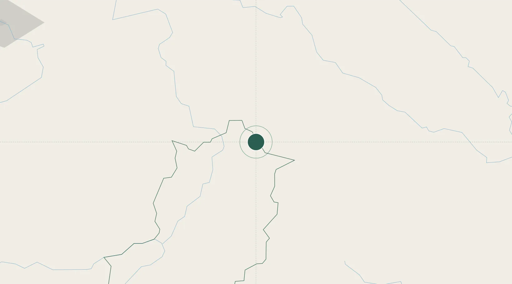
Location
Nearby Logistics Neighbours
Cities
- 1Oudomxay115 km
- 2Boten146 km
- 3Nateuy148 km
- 4Luang Prabang148 km
- 5Hekou199 km
Ports
- 1Nghe Tinh374 km
- 2Hai Phong377 km
- 3Hon Gai417 km
- 4Cam Pha448 km
- 5Fang-Cheng556 km
Airports
- 1Dien Bien Phu Airport50 km
- 2Oudomsay Airport114 km
- 3Sam Neua Airport121 km
- 4Luang Phabang International Airport148 km
- 5Xieng Khouang Airport167 km
Trade Zones
DatabookThe Record of Consolidated Knowledge
Vietnam beyond logistics?